How Propeller does PPK
Propeller PPK (post-processed kinematic) is a processing automation solution designed to minimize time in the field and make accuracy an easy, affordable option for businesses of all sizes.
Fly your site using one of our supported drones and AeroPoints as your smart ground control solution to capture highly accurate, geotagged aerial images for drone mapping.
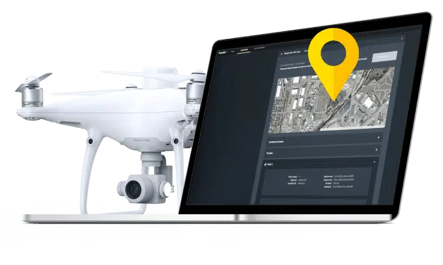
Drag and drop your flight data into Propeller, and we’ll transform your survey into a 3D map of your worksite using our proprietary drone PPK and photogrammetry solution.
Within 24 hours, you’ll have a processed dataset waiting in your inbox that’s been QA’d by our team of GIS experts. Review the accuracy report to verify the results and start measuring with confidence.
Simple user workflow
Harness the power of a fully-integrated solution
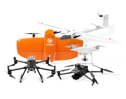
- Carefully curated list of best-in-class drones, serving a range of needs and use cases
- Seamless compatibility between hardware and software systems
- Personalized onboarding and training to ensure success
- Reduced in-field time and less ground control needed
Recommended Hardware:
Verifiable, survey-grade accuracy
Results within 1/10 ft (3cm)
- Onboard GPS data corrected against AeroPoint data to deliver verifiable results
- Incorporated checkshots for an independent layer of verification
- Flexible support for coordinate systems, including CORS, survey benchmark, PPP, and your own RINEX
Drag-and-drop processing
Best-in-class PPK and photogrammetry
- Drag-and-drop data upload process for a simplified workflow
- Automated drone PPK geotag processing and photogrammetry
- Comprehensive processing reports provided for every survey
- 98% surveys processed within 12 hours
Anywhere, anytime access
24/7 support from wherever you are
- Hotspot-enabled data uploading for on-the-go drone PPK workflows
- Cloud-based access to personalized dashboards to view and export flyover data
- Highly-skilled geodetic experts on demand 24/7
Сustomer reviews:
Learn more about Propeller PPK
Contact our team of experts and find out how you can achieve survey-grade accuracy, without the hassle and expense.
Let's Talk


