Propeller PPK With WingtraOne

Map faster and map larger with WingtraOne
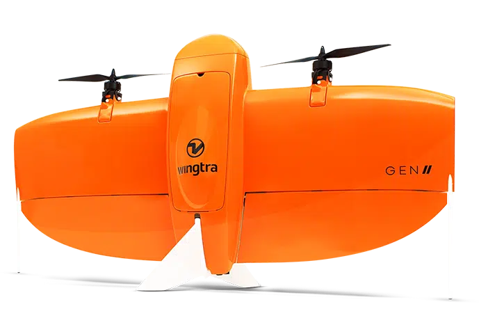
Meet WingtraOne, a Swiss-made VTOL (vertical take-off and landing) drone offering the best functionality from multicopter and fixed-wing drones.
WingtraOne takes off and lands vertically like a multicopter—perfect for confined areas with limited space. In the air, it flies like a fixed-wing drone, with the flight speed and image quality to facilitate high-efficiency, large-scale mapping.
Why fly WingtraOne?
With its durable fiberglass design and fully autonomous vertical take-off and landing, WingtraOne is ideal for fast and efficient large-scale drone surveying.
If flight speed, image resolution, and unparalleled accuracy top your priority list, you can’t go wrong with Propeller PPK and WingtraOne.
Benefits of Propeller PPK With WingtraOne

Propeller PPK is changing the landscape of site surveying
Survey sites safely and accurately—with less time and cost.
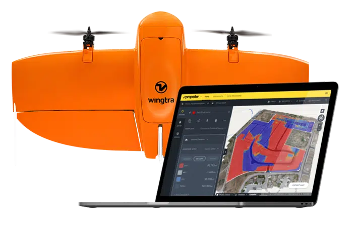
Propeller PPK with WingtraOne is an automated drone data processing solution that harmonizes Propeller software and VTOL WingtraOne drone hardware to help you map more ground, more accurately than ever before.
Learn more about Propeller PPKTransform your worksites today.
Propeller PPK and WingtraOne are optimizing labor, improving accuracy, and leveling up site surveys with each flight.
Ask about PPK With WingtraOne


