How Propeller works
We’ve developed a survey data collection, processing, and analysis formula that’s highly accurate and sophisticated enough for survey teams, and easy enough for field crews. We packaged it all together into an integrated workflow that transforms your survey operations for the better.
Here’s how drone mapping works at Propeller
Simplify data collection with drones
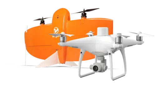
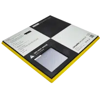
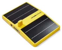
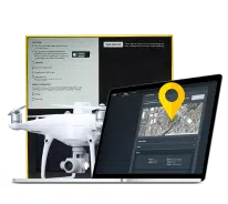
Capture survey data faster and more frequently than ever before. Select a drone from our list of supported hardware to survey your site. Add AeroPoints for an additional layer of accuracy and verification.
- Easy-to-use, easy-to-learn hardware solutions
- Accurate results within 1/10 ft
- Seamless addition to your existing workflows and technology
Automate data processing
Drag and drop your drone survey and positional data into Propeller, and we’ll process it for you. No expensive computers or specialists needed.
- 24-hour turnaround on data processing
- Processing quality reports for every survey
- 24/7 access to GIS experts
Measure your worksite
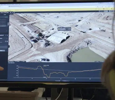
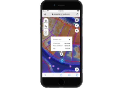
Produce a digital twin of your worksite to visualize changes, track progress, and communicate plans to your team. Quickly turn drone data into real-world measurements and layer surveys against design to gauge exactly how you’re pacing.
- Unlimited users, unlimited collaboration
- Seamless integration with existing workflows
- Industry-specific tools
A look at your first month with Propeller
We’ll get you the information you need to launch or upgrade your drone program
Launch or upgrade your drone program by first selecting a drone that best meets your project needs from our list of supported drone options. Then, work with the Propeller team to get started with your new Propeller software and hardware.
We’ll get you up to speed on Propeller best practices
Meet with your dedicated Propeller expert to learn the ins and outs of the Propeller workflow and receive training on the Propeller features and tools that bring value to your business.
We’ll provide ongoing support, for every flight, 24/7
Apply what you learned in your training sessions to capture, process, and analyze your drone surveys. Within 24 hours of your flight (for standard datasets), you’ll have an accurate, 3D model of your site.


