Part 107 Renewal Q&A: What You Learn After Two Years of Flying
Many of our customers are Part 107-licensed pilots, and many of you might be coming up on renewal as your two-year licensing period comes to a close. This renewal process can daunting—even if you fly a drone regularly on your worksite—because it still means having to take another test. But Part 107 renewal is actually much simpler than you might imagine.
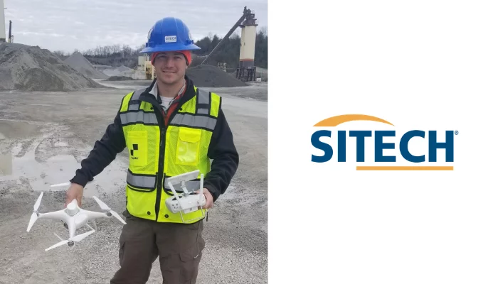
To get more insight into this process, we talked to Adam Coomes of SITECH MidSouth (a Trimble Stratus authorized dealer) about his recent renewal experience and what he’s learned.
What’s your career background?
I have a degree in applied geography and specialized in GIS and photogrammetry. After university, I spent a few years performing field surveys for a consultant group. Presently, I’ve been with the local Trimble construction dealer, SITECH MidSouth, for more than seven years.
Where do you currently work (title and company) and what do you do?
I currently work as a Trimble-certified trainer and technology support specialist for SITECH MidSouth, the Trimble Construction dealer covering Kentucky, Tennessee, Indiana, West Virginia, and part of Ohio.
I provide support and training on the full product line from Trimble Business Center and earthmoving machines to 3D concrete and asphalt paving.
Why did you get Part 107 certified in the first place?
Having an educational background in photogrammetry, I could see the possible benefits to be gained of using drones in the construction and aggregates industry. So, as soon as the FAA released the updated guidelines detailing Part 107, I jumped at the opportunity.
What was your perception of the test before taking it the first time?
The test seemed to cover a lot of topics—the regulations and chart reading were intimidating in the beginning. But I found the most difficult questions to be obscure ones on weather conditions.
How did you feel this round?
Confident. The nature of the industry means I fly in various states and have been coaching customers on the topics covered regularly for a while now.
What makes the renewal process different than getting licensed the first time around?
The major difference is the recurrent portion does not test on weather or loading and performance. Other than that, you still have to go to a testing center.
What do you think is the biggest misconception about Part 107 renewal?
It’s one specific thing for me. The FAA sends out an email telling you about the renewal process and includes the details for taking the online training course at the top of the email. But this is only for those who hold a manned pilot certificate, which can be confusing.
After being an active drone pilot in the industry, what are the two biggest things you’ve learned?
Be aware of the elevation differences of your survey area. All too often I have customers that fly from the bottom of their area to the top, and do not get any overlap of the elevated areas. This leads to photogrammetry issues down the line in their surveys because the computer can’t stitch together the images properly.
How has the drone industry changed in the past two years of you being certified? What are you seeing in your own work that’s different?
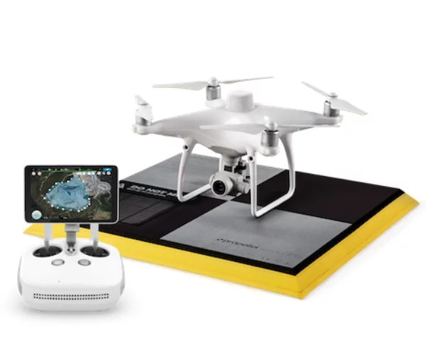
The workflow process has improved so much. When I started, we had to use our GPS rover to measure the aerial targets one by one. But the real struggle was local data—processing it would take days. Then Propeller released the AeroPoints, its cloud processing Platform, and now the Propeller PPK solution. What used to take days and cost thousands, can now be done so much faster and more affordably.
What advice would you give to Part 107 pilots coming up on their renewal deadlines?
If you’ve been surveying with your drone regularly, you should be fine, but a few minutes to review and take a practice test is worth it.
If you’re still studying to get certified the first time around, check out our blog on how easy it can be or download our Part 107 Study Guide to get prepared.


