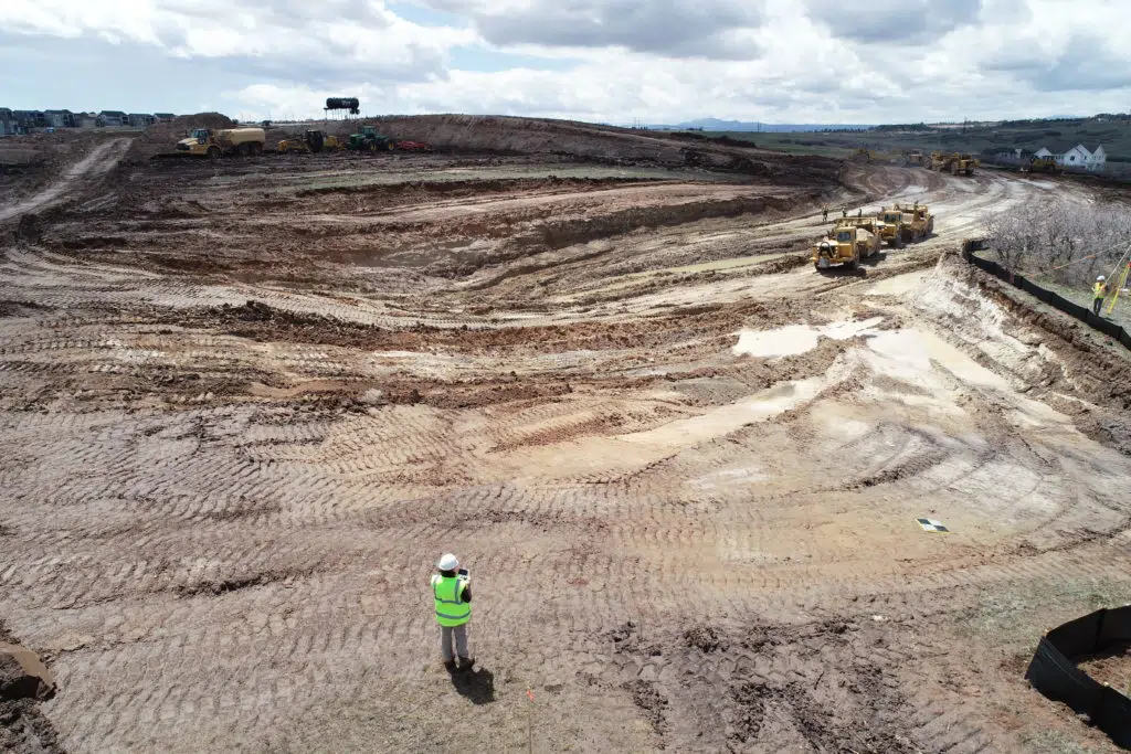
How Technology Can Help Eliminate Earthworks and Construction Disputes
Any experienced civil construction or earthwork contractor will concede that project disputes are common. But while disputes may be impossible to avoid entirely, they can be minimized—and speedily resolved—with the right technology.
Here, we’ll examine the reasons for the recent rise in earthwork disputes before covering how drone surveying can help you resolve—and even prevent—them.
What’s the current state of legal disputes in construction?
Earlier this year, an independent survey found that 87% of more than 500 respondents from architecture, engineering, and construction firms had dealt with disputes in the past 12 months, a substantial increase from 63% in 2021. This trend stretches past 2022; the average value of disputes worldwide rose from $30.7 million in 2019 to $54.3 million after the global pandemic in 2020.
How can earthworks and civil construction pros avoid earthworks disputes?
#1 Document your work
In their annual Global Construction Disputes Report (2022), Arcadis found that the most common cause for disputes in North America was poorly drafted or incomplete and unsubstantiated claims, meaning poor record-keeping and documentation is currently a leading cause of disputes in construction and earthworks.
While some of these record-keeping issues are related to supply chain difficulties, many disputes arise because project progress isn’t clearly documented or reasons for delay aren’t clearly communicated.
The detailed 3D models generated by drone photogrammetry are ideal for addressing these concerns. Drone survey data is very accurate and easier to read (and share) than traditional base and rover surveys. Drone survey maps also require far less time and labor to create, meaning contractors can fly their site as often as needed to document earthmoving progress, assess the current state of a site against design, and address any delays.

#2 Increase transparency with contractors
Arcadis also found two of the three most important factors in dispute resolution are contractor transparency and accurate/timely schedules. Surveying with a drone helps increase contractor transparency in a variety of ways including:
- Establishing a baseline: Flying a site before work begins helps establish a baseline for current material quantities and cut/fill measurements. Pre-bid drone surveys can also help generate highly accurate estimates, ensuring more precise revenue if you win the project.
- Sharing regular updates: Show clients and other stakeholders evidence of progress with easy-to-access project updates. Site maps complete with material quantities can be easily read and analyzed, with no need for elaborate training or special licensing.
- Creating a single source of truth: Simply designating a single source of truth for your project can prevent project disputes before they occur. When everyone understands where and how to access information about a project, there’s less opportunity for misunderstandings.

#3 Build accurate and timely schedules
Underpromising and overdelivering on a construction project can be difficult—particularly given the supply chain challenges and labor shortage in recent years.
Drone surveys can help contractors generate accurate schedules to keep close track of their projects weekly and compare ongoing work against the schedule and design. Regular progress tracking also helps you notify clients and subcontractors early if plans change. Any risks to the schedule (or budget) can be discovered and flagged early to help set expectations, negotiate change orders, and get ahead of possible client dissatisfaction that might lead to a dispute.
#4 Conduct risk management
Lastly, surveying with drones helps mitigate risk on a construction site from worker safety to financial stability. Examples include:
- Improving worksite safety: Sending drones to fly dangerous or unstable terrain, including large and unsteady stockpiles, is a highly effective way to improve onsite safety protocols.
- Preventing change orders, cost overruns, and rework: Misunderstandings are a leading cause of cost overruns and project delays; in fact, 35% of all construction projects are likely to involve a major change. When everyone is clear on how a project is progressing every step of the way, miscommunications are far less likely.
- Enhancing communication: Improving communication and clarity also mitigates risk. Drone surveys make it easy to interpret what’s happening onsite, and an established source of truth like the Propeller Platform keeps a wide variety of stakeholders on the same page.


