Drone Solutions for Waste Management
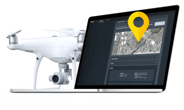
An end-to-end 3D drone mapping and data analytics solution for landfill management.
Industry-focused
Drone surveying workflows designed for waste management companies.
Accurate
Verifiable survey-grade accuracy down to a 1/10ft.
Expert
24/7 access to a team of dedicated GIS experts
Scalable
Flexible options that make sense for every sized business
Your geospatial data hub from cell development to final cover
Propeller is an integrated workflow that landfills around the world use to combat long-standing data collection, processing, and analysis pains. Forget complex technology and leave your communication silos behind by keeping all your project data in one location.
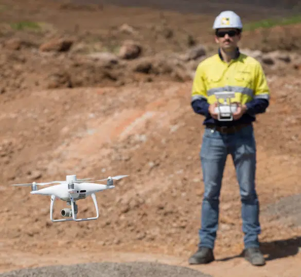
Fast, frequent site surveys

Capture progress data faster and more effectively than ever before using an integrated drone surveying workflow.
Accurate density and volume calculations

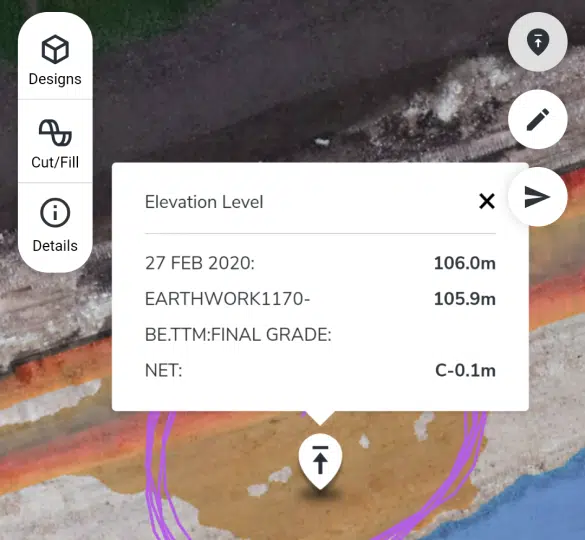
Use browser-based 3D maps to visualize cell progress, calculate compaction densities and remaining airspace, and proactively detect liner breaches.
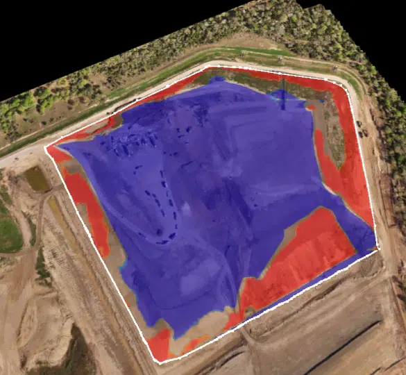
Slope management at a glance

Ensure compliance and maximum airspace utilization with on-the-fly outside slope management.
Collaboration & communication

Invite an unlimited number of users to Propeller and effortlessly share up-to-date reports with key stakeholders in just a few clicks.
Waste Management use cases
Fast, frequent site surveys
- Get started quickly with Propeller’s fully-integrated drone surveying workflow
- Empower your survey team to cover more ground—in a fraction of the time of traditional methods
- Reach survey-grade accuracy with verifiable results down to 1/10ft
- Improve efficiency and maximize the lifespan of a cell
- Generate 3D and 2D digital replicas of your site from drone images
- 24-hour turnaround on data processing
Accurate density and volume calculations
- Conduct high-frequency site surveys to capture changes in real time
- Use 3D maps to visualize cell progress from your browser, without putting boots on the ground.
- Perform quick, accurate calculations of compaction densities and remaining airspace
- Layer recent surveys against design files to monitor compliance
- Get the most out of every cell and proactively detect liner breaches
Slope management at a glance
Quickly verify how well outside slopes have been built to ensure compliance and maximum airspace utilization
Collaboration & communication
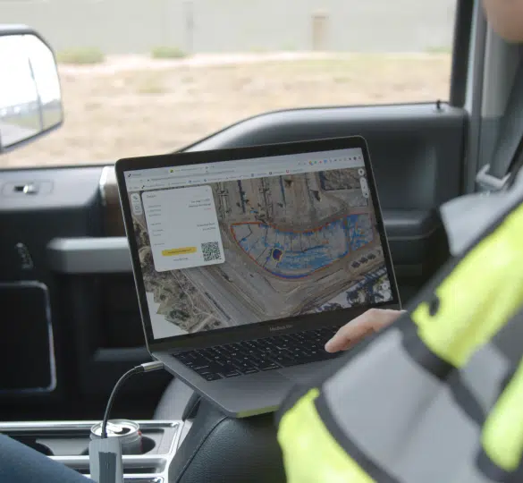
- Access survey data anywhere, anytime using cloud-based software
- Unlimited users, unlimited collaboration—no extra cost
- Empower your entire team with a single source of truth
- Generate PDF or CSV reports to share with environmental managers, contractors, and other stakeholders
- Issue daily progress updates and share designs to keep in-field and office-based teams connected to the big picture
