See what advanced drone data analytics and 3D mapping can do for your earthworks business
Nearly 4,000 earthworks companies in 123 countries (and growing) have chosen to manage their worksites with Propeller. Is it time to learn more?
Scroll down to learn more
Here’s what you can expect from a demo and consultation with with us:
Explore what Propeller can do for you and your business:
Propeller Platform
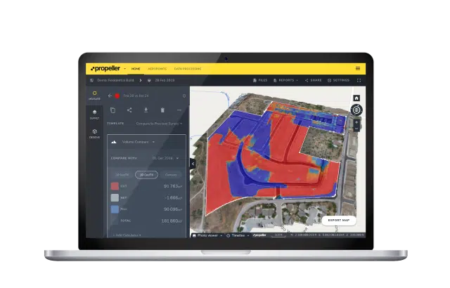
Take worksite visibility to a whole new level with advanced drone data analytics and 3D mapping that allow you to view your entire site, measure quantities, assess risk, and more. Plus, with unlimited users, you’re guarranteed a single source of truth for all stakeholders on your project.

Propeller PPK
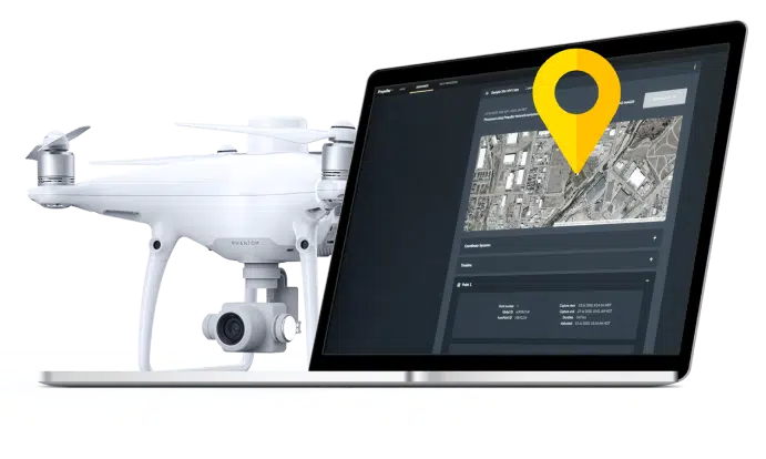
Minimize time in the field without sacrificing accuracy. Propeller’s PPK workflow removes the pressure and time commitment from processing data by putting it in the capable and experienced hands of our GIS experts. Simply fly your site as often as you like, upload your data to Propeller, and we’ll take care of the rest. Within 24 hours, you’ll have precise data and visuals of your worksite.

AeroPoints
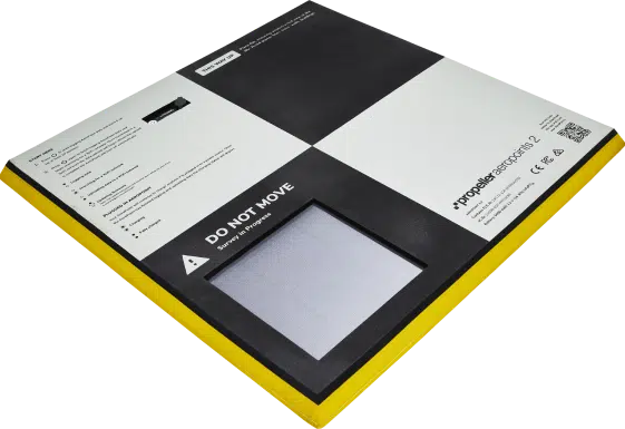
Simplify surveying with our rugged, smart ground control points, designed for drone beginners with the precision expected by survey veterans. Stop wasting time with base and rovers. With one-button operation, you simply lay them out, press a button, and let them do the work for you.

Choosing the right tech solution and provider is like choosing a new member of the team.
Could Propeller be the right fit? Let’s chat to find out.
Request demo


