Propeller PPK with DJI’s Mavic 3 Enterprise (M3E)
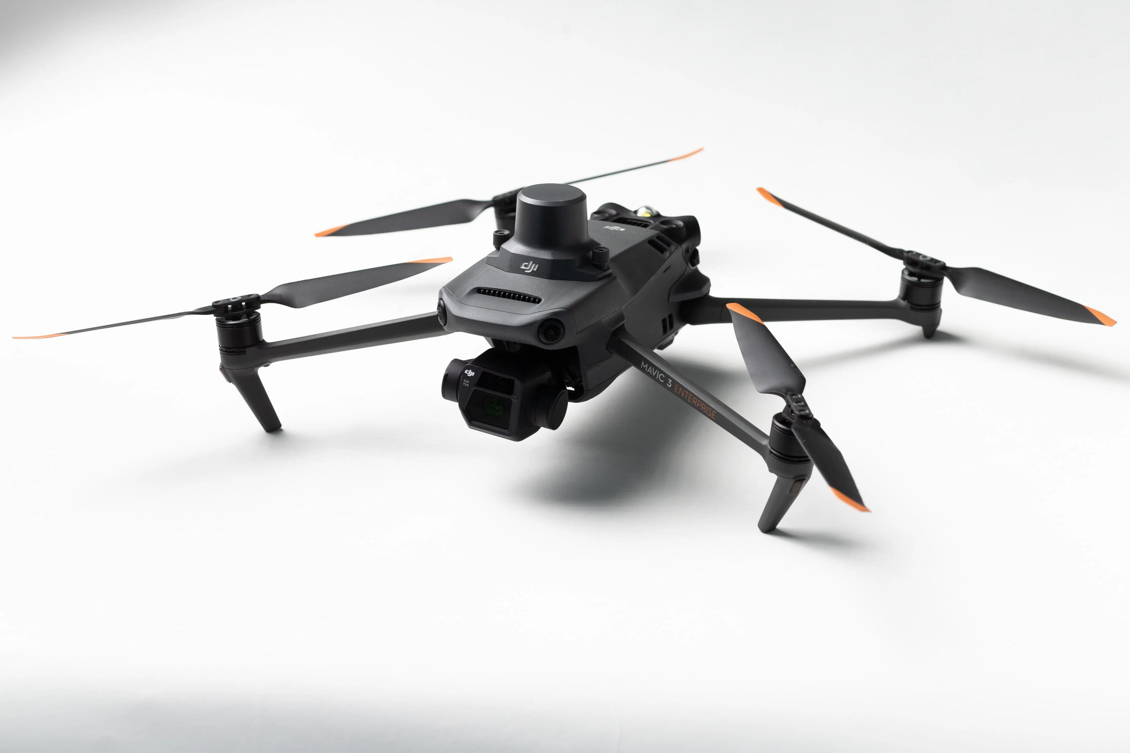
Efficiently Map Your Site, Large or Small, with the Affordable M3E Drone
DJI’s M3E is an easy-to-fly quadcopter drone —at an affordable price that fits your survey, estimating, or project management budget.
The M3E is the latest drone to be compatible with the Propeller PPK workflow. It’s easy to operate, reliable in the field for sites of most sizes, and reasonably priced, making it an ideal entry point into drone surveying.
Why Fly the M3E?
DJI is a leader in drone and aerial imaging technology. The M3E is their newest, lower-cost, enterprise offering since the P4RTK in 2018 that’s highly suitable for precision site mapping in the civil construction, aggregates, mining, and waste management industries.
If you’re looking to implement a drone surveying program for your earthworks operations—or expand an existing one—with a user-friendly, affordable investment, the M3E and Propeller PPK are a great fit.
Benefits of Propeller PPK With M3E





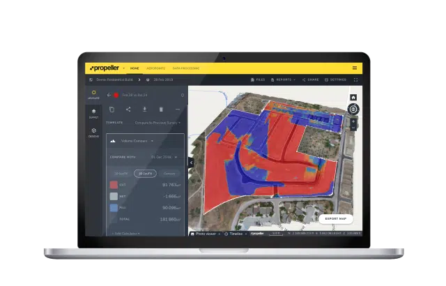
Propeller PPK is changing the landscape of site surveying
Survey sites safely and accurately—with less time and cost.
Propeller PPK and DJI’s M3E is a processing automation solution ideal for small or large sites due to its increased shot interval when compared to other drones. This makes it much more efficient and allows you to map faster and further.
The M3E is not only more efficient when mapping your site, it also has the ability to perform optimally during windy conditions due to advanced motor and propulsion technology. Its “Omni direction positioning system” with six crash sensors makes the possibility of an in-air accident much less likely.
Learn more about Propeller PPK


