Guides and eBooks
Get practical tips, best practices, industry insights, and more with our engaging and informative ebooks and guides. Whether you’re a seasoned drone program advocate or just getting started with your drone surveying journey, we have the resources you need to succeed.
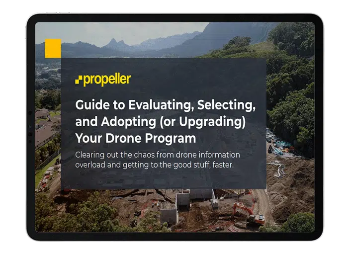
New: Guide to Evaluating, Selecting, and Adopting (or Upgrading) Your Drone Program
Thinking about starting a drone program or giving your existing program a much-needed revamp? This is the guide for you!
Whether you’re new to drones or a drone champion on your worksite, this guide will help you:
- Highlight the key areas for consideration for your business
- Assess your options to select the right drone and service provider for your needs
- Present the business case for a new or upgraded drone program internally
- Manage change within your team to successfully adopt and engage with your new drone program
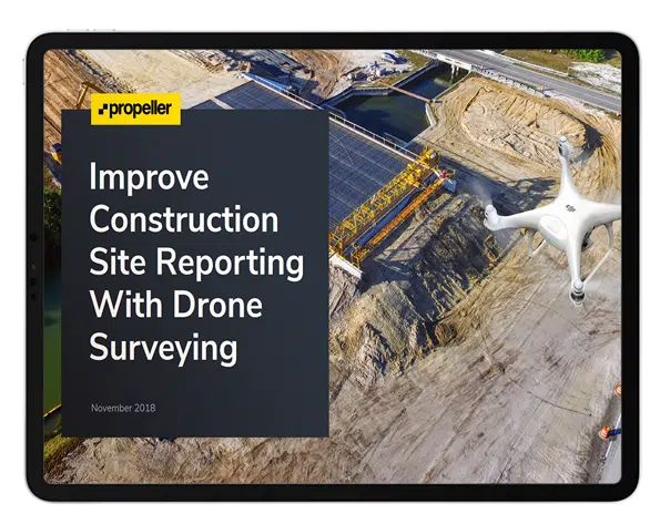
Improve Construction Site Reporting With Drone Surveying
Download the guide to learn about:
- How drone surveying works on a construction site
- How you can use drone data to create daily, weekly, or monthly site reports
- Examples of site reports you can create and how to use them
- How to collaborate and share reports with teams and stakeholders easier
- How you can use data to see what problems have arisen on site, featuring a real-life case study


Cut and Fill Calculations in Drone Surveying
Learn how drone surveying can help revolutionize your cut and fill
calculations—from getting data faster and more frequently to surveying
at lower costs.
- • The ways drone surveying changes the game
- • How these quantities are calculated
- • Ways different industries use drones to do their cut/fill drone surveying

Propeller PPK with DJI’s Phantom 4 RTK: How accurate is it?
Propeller and DJI—and validated by experts at Trimble—claim centimeter-grade accuracies are now possible with just one ground control point. This is the first totally integrated PPK solution on the market.
Download a full copy of the whitepaper to learn more about our testing methods and how our results support this level of drone mapping accuracy.
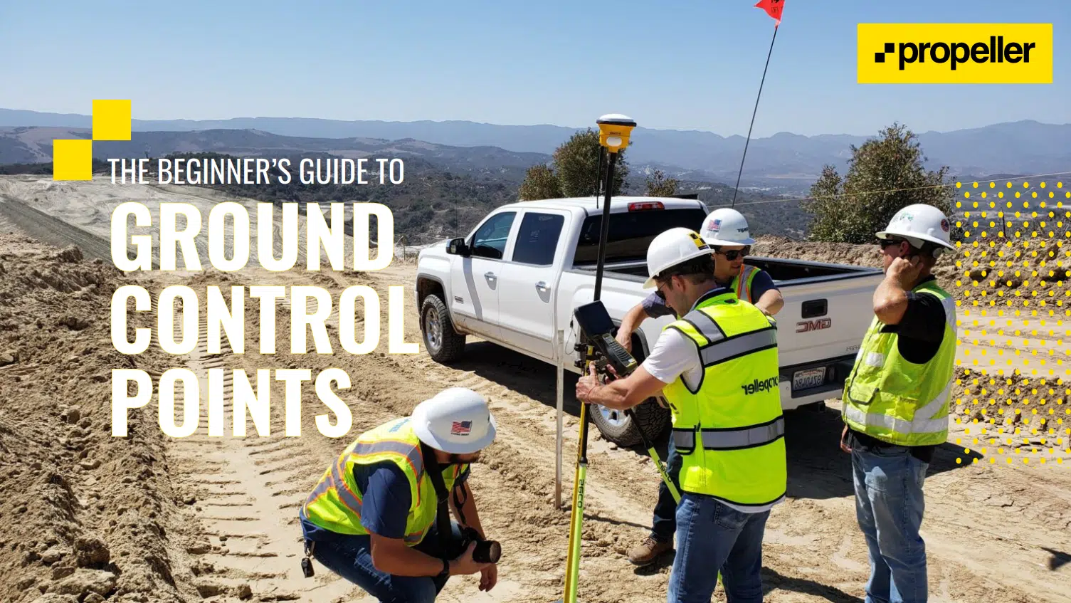
- • How AeroPoints fit into the PPK workflow
- • Testing and validation descriptions and setup
- • A detailed results report
Drone Surveying: Getting Started on Site
Our starter guides cover the basics, from what type of hardware and software you need to how drone surveying actually works and the benefits you stand to gain.
Want to launch a drone program, but don’t know where to start? This comprehensive guide covers everything you need to know about kickstarting a drone program on your site.
The complete guide to drone surveying technology covers your most pressing questions, such as “what’s the difference between PPK and RTK?” and “why do you need GCPs?”
Beginner’s Guides to Drones
Interested in starting a drone surveying program, but not sure where to start? Get the answers you need by downloading a Beginner’s Guide to Drones for your industry. In it, you’ll learn what hardware and software you need, regulations to keep on your radar, the business benefits you can expect, and more.
Stay up to date
Safety and Drones eBook
Explore the safety benefits of using drones on your worksite
Safety is one of the most important issues to consider when starting your drone program. Whether you want to reduce surveying time and cost or improve your site’s progress and productivity tracking, worker safety is still the number-one priority.
Our operations and hardware experts teamed up to write this ebook to help you stay safe while using drones and learn about key topics, including:
- Safety of using drones on your worksite
- Best practices for safe drone operations
- Key safety benefits of drone surveys
- Workflows and safety checks improvements when using drones
Drone Data Analytics eBooks
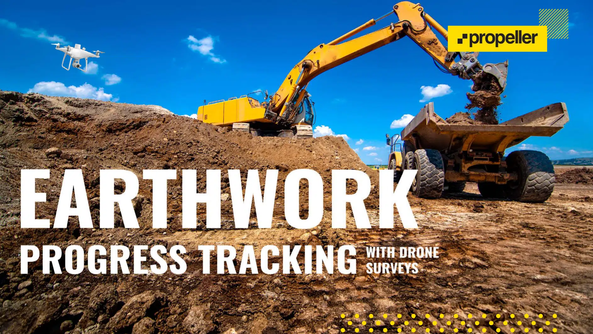
Uncover how drone data can help your team monitor the amount of work completed
done, how fast it’s progressing, whether you’re working to spec, and if
you’re going to make money.
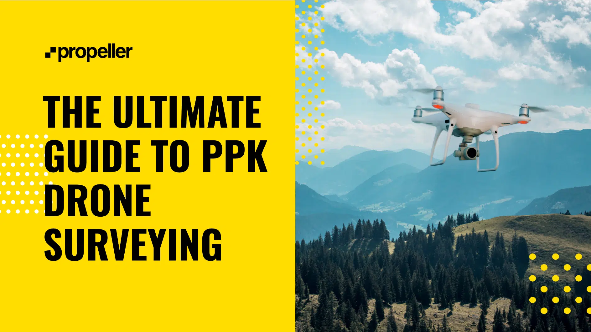
The New Survey-Grade Work Tool: Propeller PPK and AeroPoints
Drone surveying is growing in popularity, but the concerns over the complexity and accuracy of processing that data remained, until now. Propeller and DJI teamed up to create a drone surveying solution that’s accessible to everyone and highly accurate—Propeller PPK.
In this ebook, we cover what PPK is, how it works, and how a Propeller PPK solution can improve:
- Surveying on a site without any drone technology
- Measurement and management on a site using a drone and traditional ground control
- Drone surveying workflows on sites using AeroPoints™
FAA Part 107 Study Guide
Looking to start a drone program on your site and preparing for your Part 107 test?
Propeller’s drone operations experts created this study guide to give you all the information you need to pass the test and get licensed.
- The important numbers you need to know
- METAR reports and weather abbreviations
- Acronyms, terms, and keywords
- Controlled and special-use airspace
- What you need to do when you’ve passed the test
Read more on our blog!
Visit our blog for more guides, articles, and industry news from Propeller
Visit the blog


