Women in Construction Q&A: Morgan Corp.’s Tiffany Sullivan
What does new technology adoption, efficiency improvements, and overall industry progress have in common? You. These things are only achieved because of the hard work of industry leaders, technology champions, and everyday people working in construction, mining, aggregates, and waste management.
With that in mind, we want to showcase these individuals and learn how they’re changing the way their company works for the better. Today, we speak to Tiffany Sullivan who’s a survey tech with Morgan Corp.

Tell us about your company and your role there. What do you do?
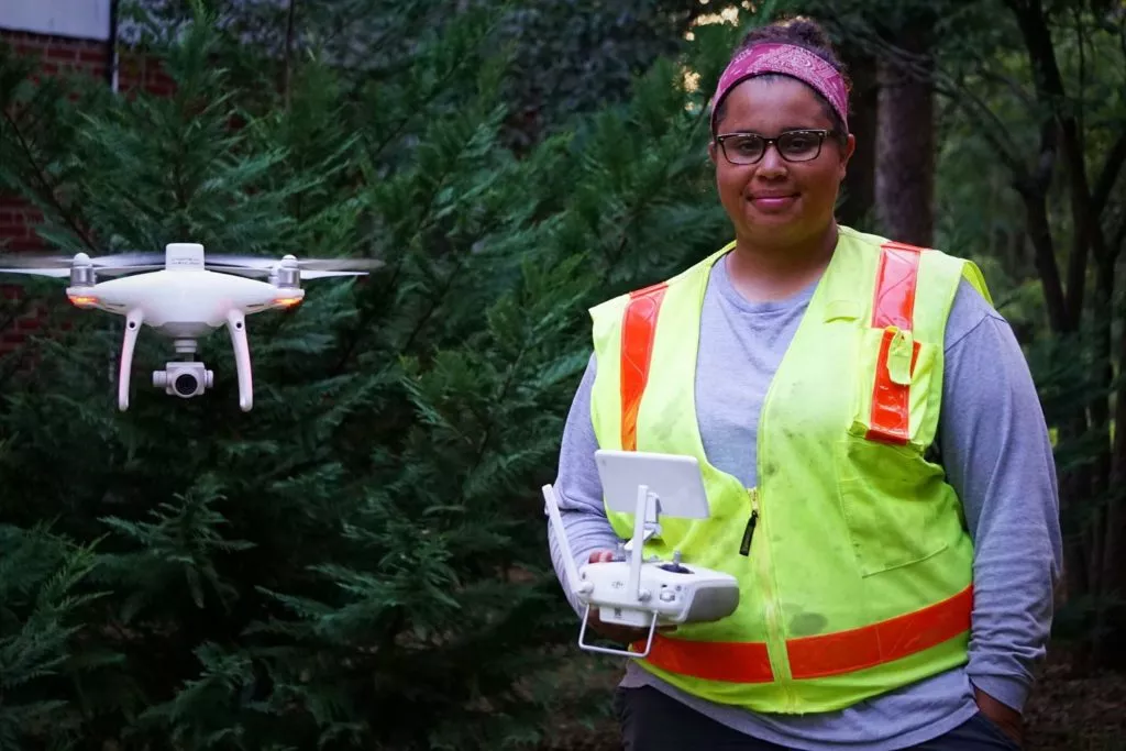
Morgan Corp is a construction company with offices in Spartanburg, South Carolina; Charlotte, North Carolina; and Savannah, Georgia. My job at Morgan Corp. is to collect survey data by taking drone photos of our sites. Right now, I’m visiting five or six sites a week.
The one I’m at the most is a gold mine in Kershaw, South Carolina. Morgan has about three different jobs out there. They’re making room for a stockyard, so the mine can stockpile all their dirt and rock.
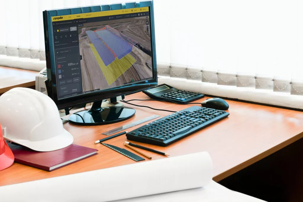
The other sites are a bit different, like high schools, energy plans, and others. We also have a site in Savannah, where they’re building a warehouse distribution center for the city’s port. We fly those sites and submit the data to Propeller to get a 3D site model and orthophoto.
What’s your career background? How did you become a drone pilot?
My career background is mostly retail. Last year, my dad heard about companies using drones to measure stockpiles. He was sandblasting rock quarries at the time, and got to talking to the gentleman who was flying that quarry. He said all you really need to get flying is your Part 107 license.
My dad knew I’m interested in technology of all kinds, especially building computers and stuff like that. So I got licensed and applied for the job at Morgan Corp.—and got it two weeks later.
Why did Morgan Corp. look into using drones as a survey tool on their worksites?
Using drones is ten times easier than doing all the walking to survey a site, from what I’ve heard from everyone. Morgan used to survey traditionally to get all their topos. The drone cuts out all the walking, which makes it much easier and faster for everybody.
More people have access to the survey data, too. With Propeller, we’re able to go in and give people access to see the 3D site survey. They can go in to make their own changes and measurements of everything. They don’t have to bother the survey people to release the information to them individually.
How do you use the Propeller Platform and/or drones in your role?
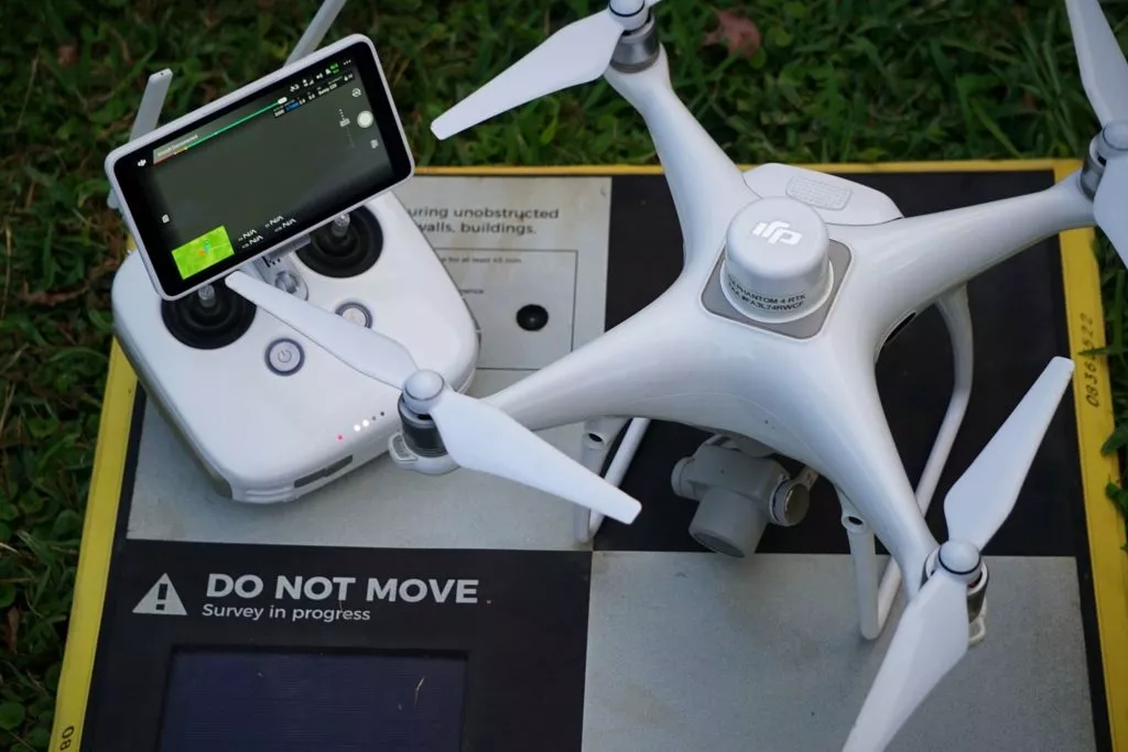
Most of the sites I fly need to be surveyed weekly, so I travel all over each week to fly them at that frequency. I’m flying the DJI Phantom 4 RTK. I love the Propeller PPK workflow. Before, I was using the Phantom 4 Pro. The RTK is better GPS-wise, but the Phantom 4 Pro was more simple. But once you get the hang of it, it’s really easy to use.
The Propeller PPK workflow only needs one AeroPoint. I’ve got all my sites set up now so all I got to do is put my one AeroPoint down and start flying. I don’t have to worry about setting up more ground control. After I get done flying, I go back to the office and I upload the data to Propeller.
What are two major ways that one or both of these tools have changed your day-to-day work?
Personally, coming from a background in retail and being inside all the time, this is a good change. It’s working with technology, which I love. It’s being outside, which I love. Using drone technology makes my job a whole lot easier and a whole lot more fun.
When it comes to the work itself, in Propeller, you can go into your site and show clients everything they want to know. You can do the measurements in front of them; they can do the measurements themselves. Everybody is on the same page, which is a whole lot better than the way we used to do it. The 3D interface is really cool. The customers we work with have been in the business for years and really haven’t seen anything like Propeller—something that’s so user-friendly.
What was the learning process like starting with this new technology? What were some of your early challenges and how did you overcome them?
The learning process, for me, was easy. The only problem I had was understanding the math, but I took a course from a ground pilot school. The teacher went in depth on everything, and I felt confident after that. Overall, learning all this stuff is mostly common sense.
Then Propeller Platform was pretty easy to grasp. After I was shown it a couple of times, I was able to do it on my own. It’s pretty self-explanatory.
I’m also showing other people how to use the Platform now. It’s fun teaching other people to use it—and I teach almost everyone at Morgan how it use it.
You have to run through it once or twice before most people get it. I’m usually there in person. I’m helping them during the flight; I’m helping them set up their missions and make sure they have all their AeroPoints out; and then we go back and I help them upload. Typically, I do this for people the first two or three flights.
What advice would you give someone just starting out using drones in construction?
My advice is to stick with it. It may seem hard at first, but it gets ten times easier down the road, as you continually use it. It’s also just a whole lot of fun. I mean, you’re not sitting behind a desk. You’re actually outside and you get to fly a drone.
What is the most memorable project you have worked on in the course of your career?
Surveying a timber track in Savannah, Georgia, with our Duncan office survey manager. It was really rough. The site was maybe 1,200 acres. We had to go out in the field to set our targets, so it took us a couple of days to get those out and flying. It was real memorable because it was my first time ever doing this kind of work.
How has working with new technology in your job been for you?
I was really interested in Propeller when I saw it during my interview for this job. It looks cool with the 3D models and everything that you can do on there, like measuring stockpiles. You basically can have a computerized version of your entire site.
Personally, I’m really down for learning things technology-wise. Being able to use technology like this every day is great, and others feel the same. Over the summer, I worked with our survey interns, who were both excited to learn about this new technology.
How do you see Morgan Corp. expanding the use of drone surveying and the Propeller Platform in the future?
In the next few years, I see Morgan Corp. using drones and Propeller at all their sites. I see us uploading more than ten flights a week. Since we’ve really expanded use in March, it’s become so successful. I feel like it’s going to get nothing but bigger from here.


