What Goes Into The Average Drone Surveying Workflow?
So, you’re considering starting a drone surveying program on your worksite. You’ve shopped around for drones, looked into the benefits of photogrammetry, and weighed the benefits of in-house vs. offloaded processing.
At this point, you’re probably wondering what a drone surveying workflow would actually look like in practice on your sites. How will it change your existing operations? What can you expect when you (or your surveyor) go out to fly?
Of course, no one’s drone surveying workflow will look totally the same. After all, no two sites, no two projects are the same.
However, there are some basic characteristics shared by all drone surveying and dissemination practices. So, let’s take a look at some of the basics of drone workflows—like from the flight itself to ground control to accuracy best practices. We’ll also cover a few basics on the differences between traditional, ground control-based drone surveying, and surveying done with a PPK workflow.
Actually flying your drone on site
When it comes to actually walking out on site to launch your drone, the flight itself is mostly automated. Drone flight planning apps, like DJI’s GS Pro, take all the complexity out of the actual flying—and its basic flight planning features are free for all DJI drone users.
Most apps will let you automate your flight based on set boundaries, or by uploading Waypoint information (coordinates where your drone should hover, how long they should stay there, and where the camera should be pointing).
In addition, most apps will let you set your survey boundary, photo overlap percentage, and flight altitude, and then estimate your flight time and ground sample distance (GSD).
To get a better idea of why we think GS Pro is the type of flight-planning app you should be using, here are a few special features that put it over the edge for us:
- The ability to save and reuse missions. For fixed sites that demand regular monitoring (likes mines and quarries), you only have to set mission parameters once.
- A “return to home” mode estimates your battery charge during longer flights and returns “home” when the battery should be replaced.
- You can import a more current orthophoto to use to plan missions. If sites change rapidly, it is easy to set the flight boundaries incorrectly based on the footprint of the site when the DJI map was originally captured.
The importance of ground control
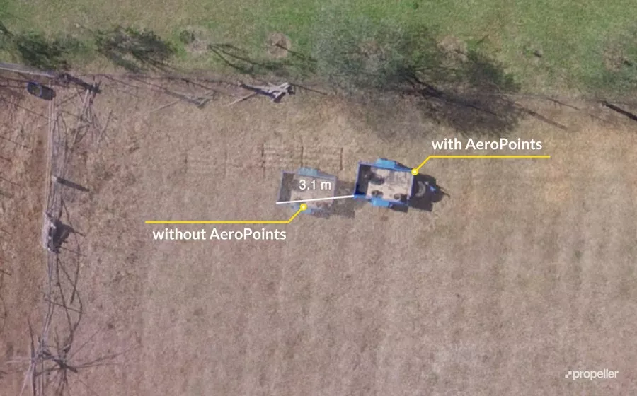
Ground control is vital to survey accuracy. Technologies like on-board RTK will provide improved accuracy in the air, but that doesn’t automatically translate to the same accuracy on ground level. Terrain models corrected with on-board RTK alone are still more susceptible to turbulence, vibration, and camera calibration errors than models generated using ground control points (GCPs).
Without GCPs, combined errors of ten-plus degrees in a drone’s pitch or roll can introduce errors of tens of centimeters in the final survey. Basically, absolute accuracy can be reined in from meters to centimeters with GCPs.

Setting up ground control points traditionally—with a base a rover, and then marking the ground to be easily distinguishable by your drone—can be slow, costly, and complicated.
But establishing “smart” ground control with AeroPoints is simple and straightforward. These GPS devices have a rugged exterior, an inbuilt GPS, and a clear checkerboard pattern that makes it easy for drones to hone in on them.
Because they come with their own GPS, you don’t have to place them in the exact same known locations every time. As long as they are evenly distributed throughout your site, you’re good.
(If you’re using a PPK workflow and your site isn’t too large, you should only need one AeroPoint to act as a base station. The larger your site, the more GCPs you’ll need.)
Keep in mind possible line-of-sight obstructions when planning placement. Set down all of your GCPs in clear view of the sky. Avoid putting them under trees, near fences, or any other obstacles.
Photogrammetry, image overlap, and camera settings
Now that you’ve done your ground control and flown your drone, it’s time to turn those aerial images into a useable worksite model. When it comes to the images themselves, there are a few technical specifications they must meet in order to be stitched together to create a survey.
Drone imagery is the foundation for a survey. These photos and their corresponding positional information are stitched together using the science of photogrammetry.
At its most basic, “photogrammetry” is measuring via photos. It might sound dry and complicated, but its inner workings define the way we fly.
When you send your drone up, it takes pictures of your site with lots of overlap. About 80% in the necessary overlap for each picture, and your aspect ratio should be set to 3:2 on your camera. This for two reasons:
- For the computer to stitch images together to make the orthophoto.
- To capture enough angles of each feature to model it in 3D.
Essentially, if you see the same feature from three or more known positions, you can triangulate its location in space, getting those exact X, Y, and Z coordinates. A feature is any visually distinct point in an image.
If you took an average image from your survey, you’d easily be able to pick out many “features” between different photos. The more features you match, the better you can relate images to one another and reconstruct objects pictured in them. This is exactly what photogrammetry software does for one feature, and the next, and the next, and so on, until it’s covered your entire site.

You can then turn those images into any regular outputs used in geospatial software, like a 3D triangular mesh or digital elevation model (DEM).
TLDR: Your average drone surveying workflow
Now that you have the basics of what goes into a drone survey, let’s outline an average, boots-on-the-ground workflow of what it looks like when you capture your data with a drone and AeroPoints.

- Preplanning
- Map out your driving route and ground control placement
- Safety assessments and traffic management
- Ground control placement
- Drive your site and lay out AeroPoints, turning each one on as you go
- Launching your drone
- Set your route with an mission-planning app, and save mission
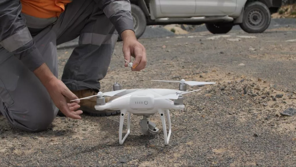
- Remove your drone from its case, attach the propellers, insert a full battery, place in open space for launch
- Launch drone and monitor flight through handheld remote
- Landing and wrap up
- After your drone automatically returns home, place it back in its case
- Drive and pick up your AeroPoints in reverse order to ensure they’ve had enough data-capture time. Pressing the button before picking them up off the ground
- After the button has been pressed again, they’ll look for a WiFi signal to automatically upload data
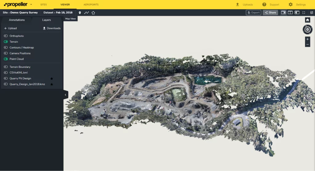
- Return to the office, upload your imagery to a cloud-based processing platform like Propeller.
Want to know what else to expect during a drone surveying workflow? Check out our How to Start a Drone Program on Your Site ebook.
You might also like:
Using Propeller, Drone Surveying for Smarter Pre-bid Topos at Phoenix-based Buesing Corp.
The Ultimate Guide to PPK Drone Surveying
Seven Questions to Ask a Drone Software Vendor Before You Buy


