How to Use AeroPoints to Survey a Large Site
One of the most satisfying things about working at Propeller is the role our customers play in our innovation. Drone surveying is still a new industry, so new ways to use our technology are being discovered by our customers almost every day, and their feedback helps drive our roadmap.
A good example of this collaborative innovation is discovering how far a single AeroPoints™ set can be “stretched” to survey areas greater than the 180 acres (80 hectare) maximum we’ve set to ensure the data consistently meets the accuracy specs.
The reason we’ve set these limits is not so much a limitation of AeroPoints, but that photogrammetry needs dense ground control points to get the most accurate results. This is also why we recommend you use all 10 AeroPoints in every survey.
While many worksites fit within this limit, there are enough larger, or long and narrow surveys like roads, rivers and coastlines, to motivate our customers to work with us to develop and test the below methods.
Surveying a large site using the “leap frogging” method
This is the “traditional” method that has been deployed by our customers since AeroPoints were launched.
Step 1
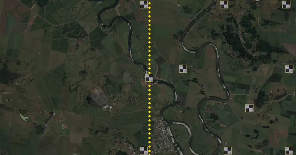
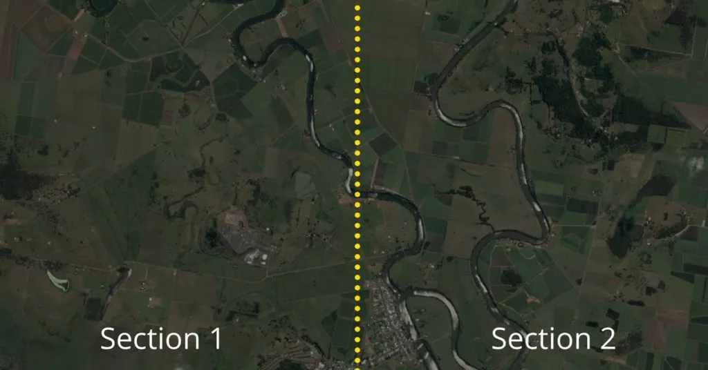
Divide the area you want to survey into sections, each no larger than 180 acres.
Step 2
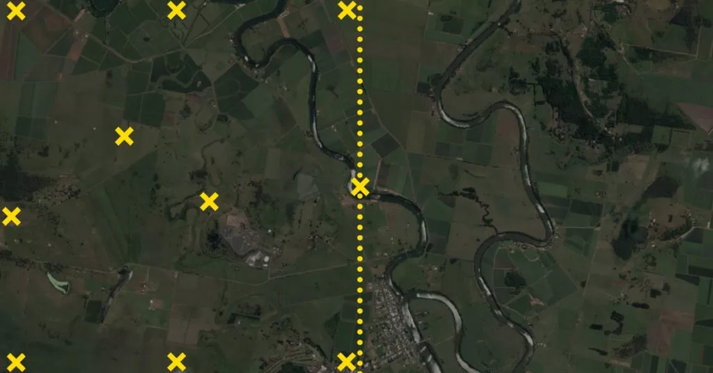
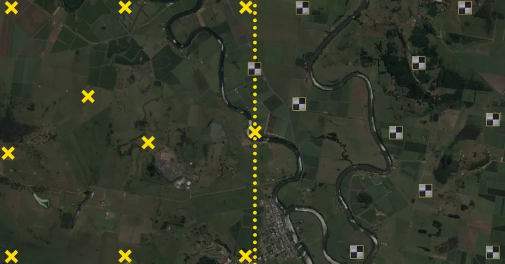
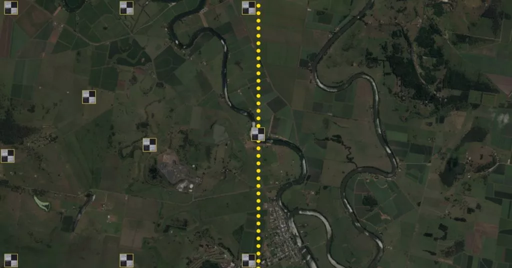
Lay and activate the AeroPoints inside the first section, ensuring you have at least one AeroPoint on the boundary with the next section. This AeroPoint should remain still during your survey to ensure data overlap between the sections.
Step 3
Leave the AeroPoints running for two hours, while you fly the section, making sure you have captured all the AeroPoints with your drone camera.
Step 4
Deactivate AeroPoints and collect all of them except the one you left on the section boundary. Make sure each AeroPoint has uploaded their data before moving into the new section.
Step 5
Spread the AeroPoints across the next section and activate them again (including those that were not moved) and repeat Step 3 before deactivating the AeroPoints.
Note: ensure your flight path overlaps the boundaries between each section.
Step 6
Log into the Propeller Platform and download the AeroPoints survey reports for each of the separate sections of the survey. Combine each of the surveys into a single CSV, which you can upload with your images when processing.
Surveying a large site using semipermanent marks
AeroPoints now come with an AeroStencil which makes this a particularly useful method for areas you will survey more than once.
Step 1
Divide the area you want to survey into sections, each no larger than 180 acres.

Step 2
In the first section, use the stencil and a can of ground marking paint to mark out 10 points.
Step 3
Align an AeroPoint on each mark, activate and leave running for two hours and then deactivate all of the AeroPoints and upload their data. You can fly over the marked section while the AeroPoints are activated or you can fly the entire site later on.

Step 4
Move all of the AeroPoints into the new section, either using them to create new semipermanent marks (especially if there are more than two sections in your survey) or use them normally.
Step 5
Fly the entire survey site, making sure you have captured all AeroPoints and semipermanent marks with your drone camera.
Note: ensure your flight path overlaps the boundaries between each section.
Step 6
Log into the Propeller Platform and download the AeroPoint survey reports for each of the separate sections of the survey. Combine each of the surveys into a single CSV, which you can upload with your images when processing.
Interested in AeroPoints? Visit AeroPoints page for more information.


