The Pocket Guide to Summer Drone Surveying
For half the world, the dog days of summer are still in full effect. This means operating your drone on routine surveys can be complicated by high temperatures and severe weather conditions. So, what’s the best way to fly in unpredictable summer weather?
Our customers work in all types of locations and outdoor conditions. After flying on sites in every kind of weather, we’ve gathered tips from our customer success team on how to best fly in the summer season to get the best data you can.
For summer, there are four main concerns to address.
Extreme brightness can reduce photo quality
Summer means sun. But too much sunshine on your site can overexpose your photos.
If you’re on a site that’s particularly bright—one with lots of sand, for example—you might want to adjust your shutter speed. We typically recommend 1/1000 for an average drone survey, but if your images are overexposed at this rate, increase the shutter speed.
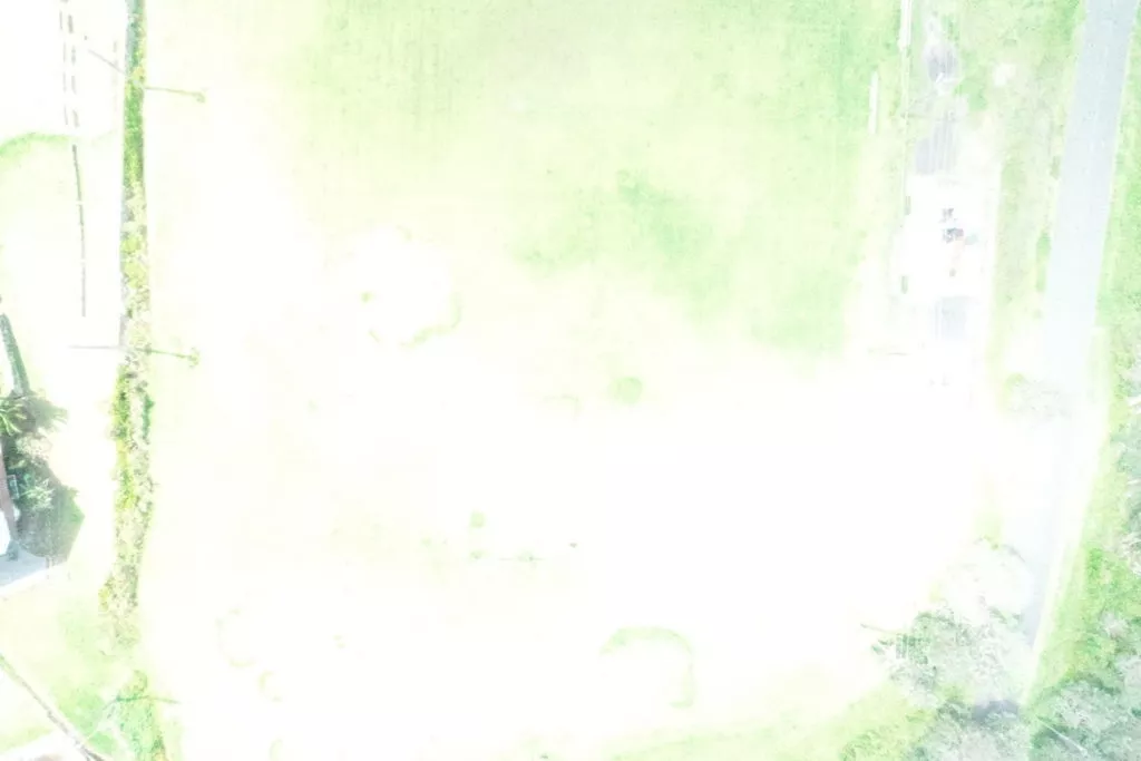
How do you know if your images are overexposed? You check them. While not everyone is a professional photographer, most people take pictures on their phones. You know when the flash is too bright and has washed everything out. It’s the same with your drone photos. (See example below.)
For especially bright days, we recommend bumping up your shutter speed 1/1600. To check if you need to do this, fly your site as normal. Then leave your AeroPoint on the ground and running, while you pull the SD card from your drone and check the photos on a laptop. You’ll be able to see very quickly if you need to increase your shutter speed.
If you’re using the Propeller PPK solution and need to fly again at 1/1600, leaving your AeroPoint out and running means you can take off again without having to process two flights.
Why does a higher shutter speed reduce overexposure?
Increasing shutter speed means you’re reducing the amount of time light has to enter the camera. If there’s more light than usual, like on clear sunny summer days, this lets the camera compensate while producing high-quality photos.
Overexposure can create problems for drone photogrammetry. Photogrammetry is the science of making your 3D site model from images. To stitch them together, the computer needs to be able to distinguish one image from the other. That’s impossible to do if all the images are overexposed and mostly white.
Battery performance
Perhaps one of the more obvious concerns for high temperatures is battery performance. Anyone with a cellphone or other electronic device knows they can overheat when left out in the sun.
While batteries can get pretty hot during a normal drone flight in mild temperatures, it’s them overheating before a flight that can cause problems. Be sure to keep your batteries out of direct sunlight.
When exposed to extreme heat, the batteries can sometimes physically expand. This expansion can be dramatic and means they can’t fit into the drone until they cool down.
But most drone batteries, like those from DJI, are sophisticated. For example, if your batteries are too hot after a flight to charge, you can put them in the charging dock, but they won’t charge until they’ve cooled enough.
Drone performance and operation
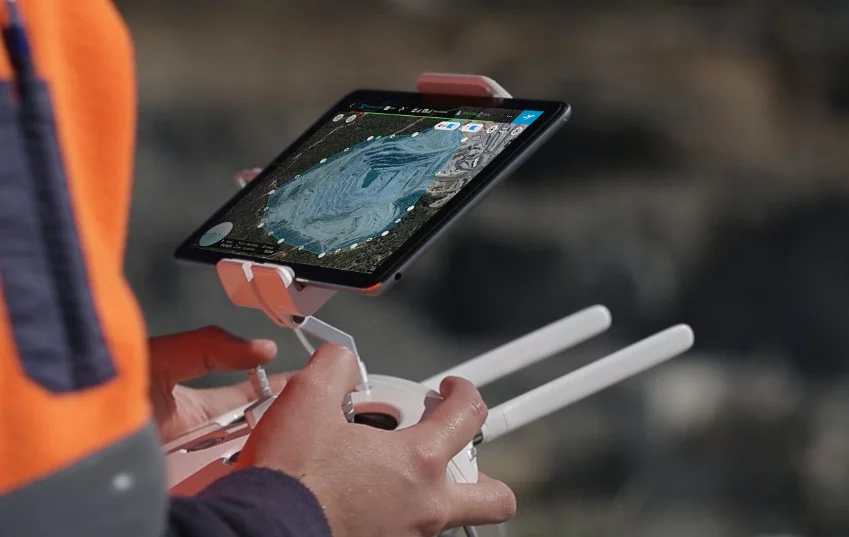
As above, the drone itself is another machine that can be affected by hot weather. Don’t leave it sitting out in the sun unnecessarily. The drone controller, too, has a smartphone screen that can overheat (not to mention have a lot of glare) in direct sunlight.
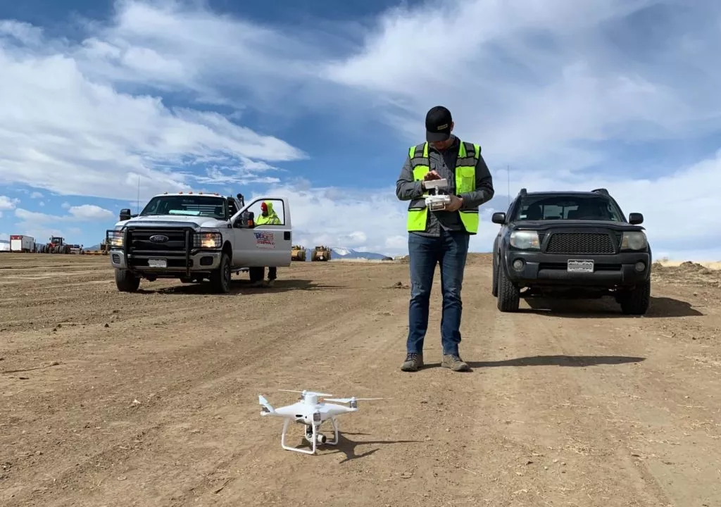
We recommend setting up and flying from a shady location, for you as well as for the performance of your drone and other electronics.
Special case: flying at elevation in high temperatures
If you’re flying at elevation in hot temperatures, efficiency can also be affected. As air gets warmer, density decreases.
Say, for example, you’re surveying an area at 7,000ft on a hot day. In this case, your batteries can lose efficiency. The drone’s propellers need to rotate faster to create lift in lower-density air, thus using more energy than normal.
So if you’re flying a big job at high altitude in high temperatures, maybe bring an extra battery.
Weather restrictions
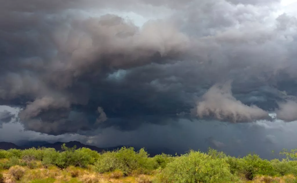
Another big consideration in the summer months is fast-changing weather. This is highly dependent on your region, so keep an eye on the forecast.
Watch out for high winds, sudden thunderstorms and lightning, hail, and more. Some regions have clockwork summer weather patterns that locals can plan around.
For example, on the eastern and southern regions of the United States, afternoon thunderstorms are frequent and regular. If you’re in those areas, perhaps plan your drone surveying for the morning.
In the Rocky Mountain region of the US, hail can be a huge issue on top of storms.
In California, forest fires are an increasing issue. You should never fly over or around forest fires, but smoke can drift considerably. If it’s too hazy or smoky, it can lower the quality of your drone images.
Overall, be aware of local weather events and plan around them.
Operator safety
Lastly, remember to take care of yourself, too. Remember to hydrate, wear sunscreen, and stay cool with appropriate clothing and keeping in the shade as much as possible.
In addition to keeping your person cool and healthy, watch out for severe weather events that can affect you. Particularly thunderstorms and lightning. Large sites cleared of trees or without many features can flood easier or put you in greater danger of lightning strikes.
You might also like:
The Pocket Guide to Winter Drone Surveying
How PPK Drone Surveying Works
Top 3 Visuals You Can Get Out of Drone Surveying


