Morning, Noon, or Night: When Is the Best Time to Fly Your Drone?
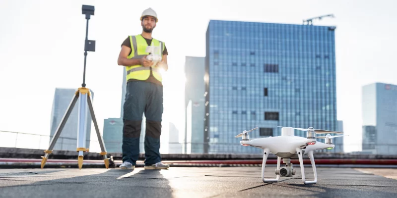
When contractors are in the midst of launching a drone program, they’re often so focused on getting everything up and running that a few of the basics can slip through the cracks. Basics like: “What’s the best time of day to fly your drone?,” and other questions ranging from optimal light conditions to weather that can prevent a safe flight.
Whether you’re a drone enthusiast interested in how to optimize your survey photos, or new to drones and learning about the best conditions for flying, we’ll cover the fundamentals of how and when to fly your drone to ensure you get the best results from your drone surveys.

Want to fly? Make sure you’re licensed first
Before you take off, make sure you understand the local commercial drone regulations. In the U.S., Canada, and Australia, you need to be licensed or registered with your country’s civil aviation authority before you can fly your drone in controlled airspace.
Check out this post for all the drone regulations you need to know before you launch your aerial survey program.
Can you fly a drone at night?
In short: no. It’s unlawful to fly a drone at night for commercial purposes in the U.S. and Australia, per FAA regulations and CASA rules. In fact, in most countries, it’s illegal for commercial drone pilots to lose visual line of sight (VLOS) of their drone.
While your worksite may be active overnight, plan to fly your drone during daylight hours only—not only to comply with aviation laws, but also to obtain the best possible survey results.
Photogrammetric drone surveying requires sufficient daylight to illuminate your site photos and capture detailed images. You can’t create a meaningful 3D site model from dark photos, as the computer is unable to distinguish one feature from another in low light.
If you must conduct surveys during nighttime hours on your worksite, ground-based lidar (an entirely different technology) is a viable option. Lidar doesn’t have the same light restrictions on data collection as photogrammetric surveying does. You can conduct a lidar survey at any time, regardless of how little ambient light is present. On the other hand, dense foliage, strong rain, or heavy fog can render lidar surveys unreliable, so always consult the latest weather forecast before you survey your site.

Can you fly a drone during civil twilight?
Legally, yes—but you probably shouldn’t.
Some countries, like the U.S., do allow the operation of commercial drones during civil twilight. Morning and evening civil twilight are both explicitly defined by the FAA, but generally, they occur between the time when the sun is six degrees above or below the horizon and when it has fully set (or risen).
If you have a choice, we recommend avoiding photogrammetric drone surveying during twilight, because such low light can still adversely affect your image quality (and therefore your 3D maps).
Fly your drone during the day for optimal light conditions
Most surveyors fly during the morning or afternoon, during full daylight, which has numerous benefits:
- Pilots can easily keep the drone in sight
- Daytime surveys yield high-quality photos
- It’s safer for the pilot, site workers, and drone
Watch the weather
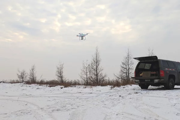
No matter what time of day you fly, weather can have a substantial impact on your flight. Watch the skies, consult the latest weather forecast, and plan accordingly if adverse weather conditions are likely. Don’t fly in rain, snow, high winds, or fog. Your images won’t be useful for creating a 3D map, and you risk damaging your drone under these conditions.
In addition to daily weather changes, drone pilots should account for the changing seasons. Ambient air temperature can also affect image and survey quality. For a deep dive into how to survey in the winter—and maintain high levels of accuracy—check out this blog post.
Here are a few conditions drone pilots should avoid:
- Extreme temperatures: Hot weather is not ideal for drones, because the hardware already produces a lot of heat, which can put unnecessary wear and tear on your drone battery and onboard computer components. Cold temperatures cause batteries to lose their charge faster than normal, so watch your battery life during cold weather flights.
- Moisture: Watch out for rain and snow, since moisture is detrimental to electronics. If you do fly in snow and experience a crash, remove the drone battery immediately and use a towel to wipe it off to keep moisture away from sensitive elements. You can also use compressed air to blow out any snow that gets into your drone’s electronics. The key is to ensure no power is flowing to your drone if it has been exposed to water.
- Wind: Flying your drone in windy conditions requires a lot of practice, patience, and battery power. Because your drone has to work harder to maintain a position on a windy day, it will expend its battery power much faster than in normal conditions. Also, use caution around buildings, trees, and any other obstacles (including people) the drone could collide with if it’s blown off course by a gust of wind.


