Leveraging DirtMate for Daily Production Volume and Performance Metrics
Construction and earthworks teams around the world are using drone technology and the Propeller Platform to collect, process, analyze, and visualize data to improve their business. While drone surveys capture data from the sky, DirtMate captures data on the ground.
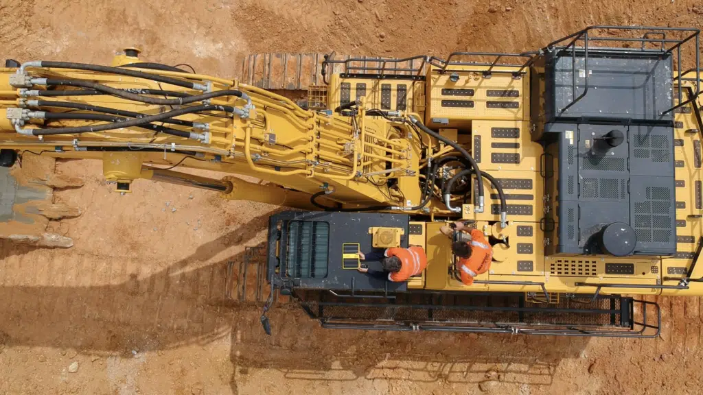
With DirtMate mounted on machines across a job site (any machine, any manufacturer), contractors can obtain up-to-date production volume measurements, every day, on demand.
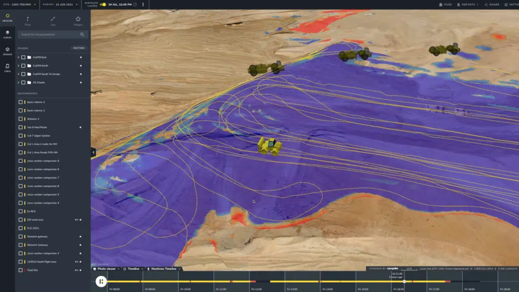
Today, many worksites track volumes and progress using drone surveys. Often, additional data is needed to understand the reasons behind a project running behind or ahead of schedule that particular day. That data comes from the actual machine movement and progress on the site every day. With DirtMate, contractors are able to track the movements of machines on site, capturing the data needed to develop a full picture of operations on site.
DirtMate has its own 4G wireless system which allows plug-and-play communication between the DirtMate hardware and the processing engine. Using a built-in GPS receiver to not only track machine movement on site, DirtMate also continuously collects elevation data from any surface the machine drives over with RTK accuracy so you can measure your volumes and determine your productivity. Furthermore, the onboard IMU tracks machine vibrations to determine if a machine is working, turned off, or sitting idle on site so you can better optimize your fleet.

The seamless integration of drone surveys and DirtMate data provides easy access to accurate 3D surfaces that you can use to generate daily production volumes, cut and fill heat maps, and progress-to-design measurements within the Propeller Platform. With this data combined with machine utilization, contractors are able to zero in on why daily volumes are on track, ahead, or behind.

Propeller recently hosted a webinar with customers, Kenny Cagle, Division Manager for Earthwork Esco Construction and Jon Salsbury, Vice President of Salsbury Engineering to learn how they use DirtMate and the positive impact it’s had on their respective businesses. During the webinar, we discussed:
- An introduction to DirtMate and how it complements the Propeller Platform
- A live demo of DirtMate
- Q/A with Jon Gauthier and Kenny Cagle
Here’s a bit of what our customers had to say about DirtMate:
Jon Gauthier: “We ran DirtMate on a battery-backup facility project for a solar plant. DirtMate fills in the blanks for us between our drone survey flights. Seeing the day-to-day yardage we’re moving helps us with job costing and estimating. We also use it for our import operations—the offsite and onsite hauls—to help calculate the yardage we’re using per day.”
Kenny Cagle: “We’re using DirtMate on a 90-acre residential project that we’re doing sub excavation and overlock rating for. I really like the daily summary email we get. I share it with the project superintendent, and we compare what we’ve claimed for the previous day against our DirtMate data. It’s also nice to see our truck load counts and compare that to our quantities to determine if we’re shrinking or swelling on a site. Being able to communicate to the client on how the site is trending is super important for us.”
To learn about DirtMate and hear more about how Jon and Kenny use DirtMate on their worksites, check out the on-demand recording, “An Introduction to DirtMate [webinar]”


