Four Benefits of Using Cloud-based Earthwork Software
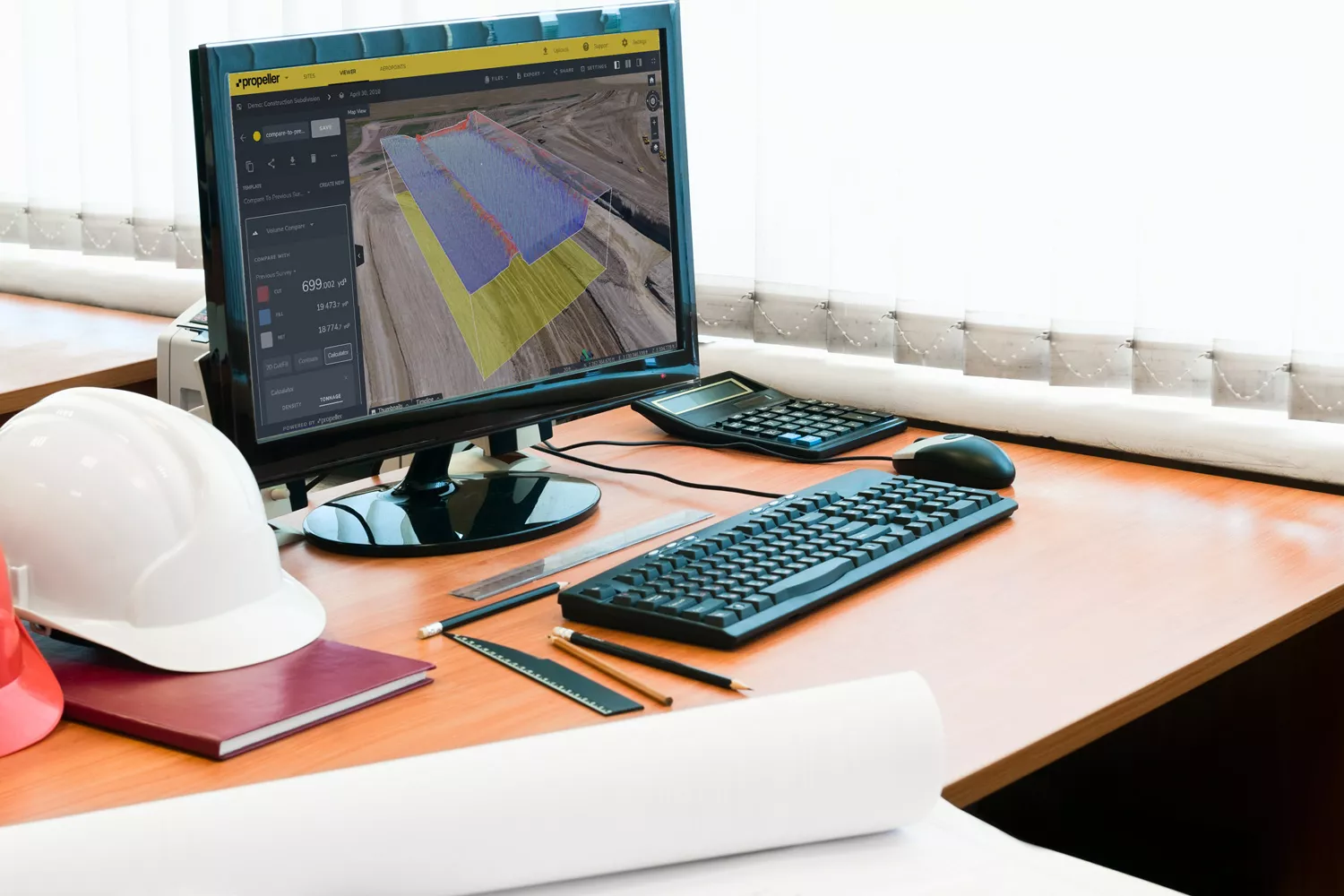
A buzzword for new earthwork calculation and excavation software is “the cloud.” Meaning it’s run from your computer browser, no software download required.
For those new to this kind of surveying and modeling software, “cloud-based” can sound vague or worse, just hype without practical purpose. Unsurprisingly, there’s some skepticism about the whole notion of using cloud-based software to measure and manage your worksite.
So, what’s so great about cloud-based survey software? It’s reliable, scalable, and accessible. It can hugely benefit your worksite. It can make communications easier and streamline routine tasks.
Here, we’ll cover four major benefits of using cloud-based earthwork software, like Propeller, for your survey data.
1. You don’t need to buy expensive computers to run cloud-based earthwork software
First, cloud-based software doesn’t require a special computer. In the past, survey software was locally based. It required extensive installation procedures and computing power to run. This meant adding an automatic operational cost on top of the software itself.
With cloud-based platforms, you don’t have to do any of that. The software is browser-based, so all you need a device to access it, which you likely already have for other work. This eliminates the setup costs associated with additional computers.

2. You can access your data from any device
Second, cloud-based excavation software makes logging in from anywhere with an internet connection easy. In the past, it wasn’t uncommon to have one expensive machine be the nexus of all your data.
With cloud-based software you can access from an internet browser, anyone who needs to access the survey data can, without needing to head back to the office because it’s not tied to a specific machine.
3. You can easily share your site data with stakeholders and team members
Third, this accessibility enables easy sharing. For all the reasons above, your data is made more accessible than ever. You can share data and collaborate easily.
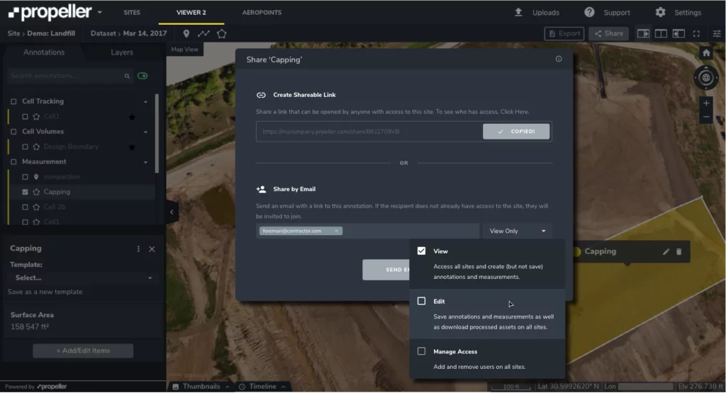
With Propeller, it’s as simple as emailing a link to your team. They click it and can see the 3D site survey or even specific measurements. Share with anyone across your worksite, or even customers, no additional licenses or “seats” to purchase.
4. You don’t need to expend resources on processing your data
Fourth, most cloud-based excavation software services also offer data processing. Older downloadable softwares required survey data to be processed in house, a resource-intensive process.
As mentioned in the first bullet point, special hardware is needed to run such software, but it’s also needed to process your site data. Suitable computer hardware can cost in the tens of thousands of dollars. Processing itself can take more than 12 hours, tying up your machine all the while.
Outsourcing survey data processing saves on personnel hours and hardware costs. (If you want to learn more about the difference between a self-processed workflow and using a platform like Propeller, check out our post on the topic.)
Want to scale your earthwork business? Think cloud-based earthwork software
Above are just a few reasons to make the switch to cloud-based excavation or earthwork software. But for businesses, there’s one last issue to address: scaling your operations.
It’s not uncommon for a company to test out a new software on one site. If it works, they expand. This is made easy with cloud-based software because there is no setup hardware or expensive computers to expand use.
And when it comes to internet bandwidth, the heavy lifting is happening when you’re uploading or downloading data, so you don’t have to worry about crashing rural networks while using the software.
Want to learn more about how you can use Propeller’s earthwork calculation and excavation software to track, map, and measure your site? Contact us today.


