Drones for Good: Propeller Helps Charity Organization in Kenya Survey New Development Site
One of Propeller’s customers has recently proven that drones are not only delivering numerous commercial benefits, but can also serve a good cause by helping not-for-profit organizations improve the services they provide to vulnerable communities.
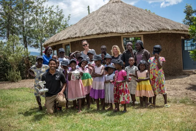
Australian drone photography and inspections company UAVisuals has put its drones to work to help children’s charity organization Rafiki Mwema in Kenya to survey its land and plan future construction works.
“Drones being used to map and survey is an emerging technology for many industries. If these applications can be used to help such a deserving cause then why wouldn’t we harness this opportunity?” said Aaron Rajamoney, director and chief pilot at UAVisuals
Rafiki Mwema, meaning “loyal friend,” is an organization dedicated to supporting young girls and boys in Kenya who have suffered trauma.
They work with children and the wider community in an effort to break the cycle of abuse and poverty. They provide education, therapy, and support to children that are in need of a safe and loving environment.
Through overwhelming support from the public, Rafiki Mwema was able to buy land on the outskirts of a small town in Kenya. They used this land to build a safe home for the children where they can continue to be supported and cared for away from danger.
Aaron Rajamoney from UAVisuals first met the founders of Rafiki Mwema during his trip to Kenya in 2015. One year later, he was back to support Rafiki Mwema’s long-term development plans with quality drone data.
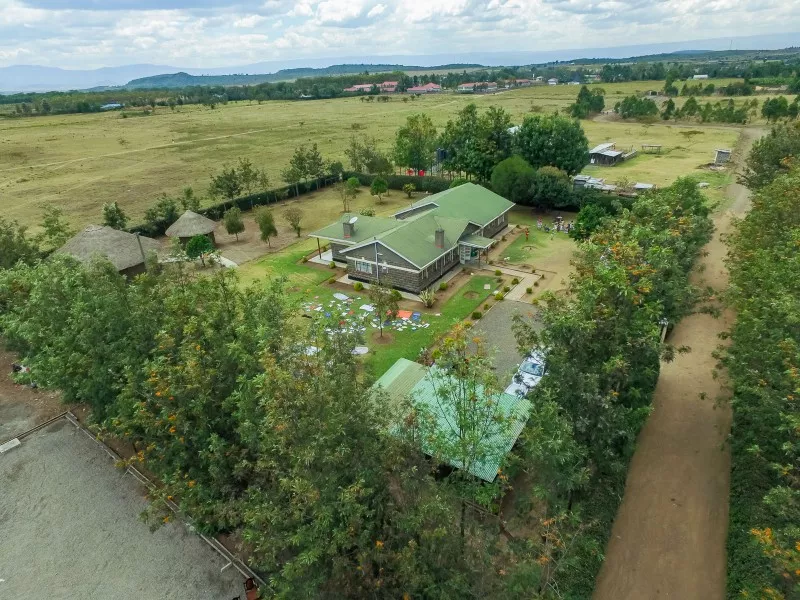
As the number of kids in need of support is growing, Rafiki Mwema are planning to expand by adding a second building to the property. The organization invited Aaron to capture high resolution images of their land and create 2D and 3D maps to plan the construction works. They also needed a terrain DEM (digital elevation model) to be produced to determine the best place for the new kids’ home and the new maize farm considering frequent flooding in the area.