Drone Data Workflows and Automated Processing with PPK and Composite Surveys
Existing infrastructure around the world is overtaxed and outdated, and the biggest enemy for infrastructure projects is extensive timelines. With U.S. investment in infrastructure expected to rise in the very near future, there will be unprecedented project demand, and any strategy to reduce timelines holds great potential. Technology is disrupting the way civil engineering and infrastructure projects are delivered — in a good way. Drone surveying technology, while not a new concept in itself, is getting a major upgrade with PPK technology and automated processing with composite surveys. The combination is speeding up the earthworks process and improving efficiency, accuracy, and safety on the jobsite.

PPK technology improves surveying accuracy and speed
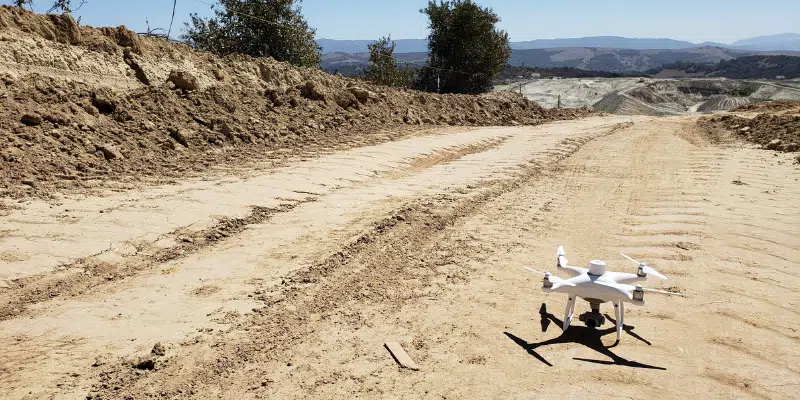
PPK technology, or post-processing kinematic technology, has revolutionized the surveying industry. It’s the single best solution for every site, from quarries to large-scale earthworks projects. In a PPK workflow, a drone equipped with RTK hardware records additional GPS files, which taken in conjunction with base station data, such as Propeller’s AeroPoints, attaches geocoordinates to the images collected during flight. The result is a faster, simpler, and more reliable survey, with data accurate to 1/10 of one foot.

Composite surveys optimize workflows
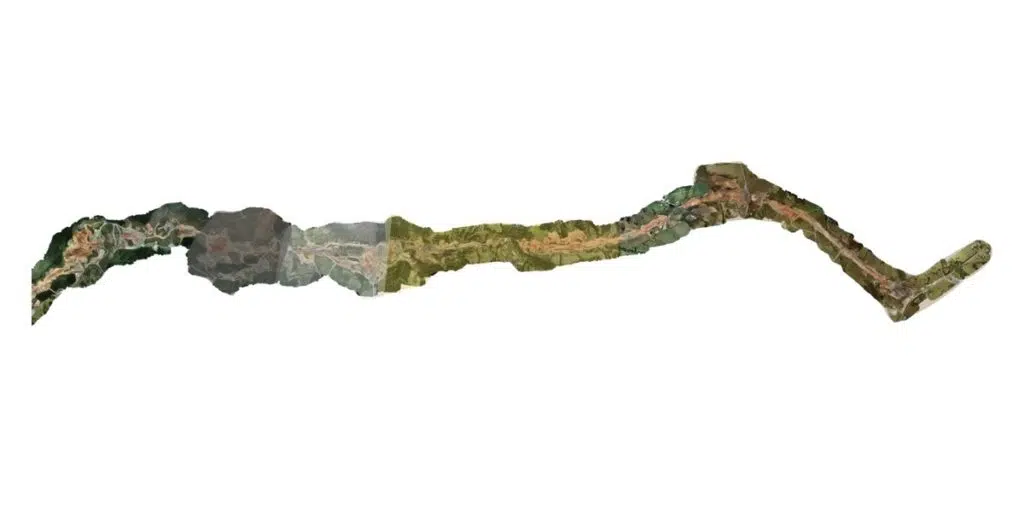
With Propeller’s optimized workflow, drone survey teams no longer need to fly the entire worksite in a single mission — they only need to fly the areas where work has been done! Composite surveys allow subsections or adjacent regions to be merged with other surveys.
There are many benefits to introducing composite survey technology, including:
Efficiency: With composite survey technology, teams have the ability to fly a small active section of the worksite and merge it with previous surveys of areas that are unchanged. Survey teams no longer need to excessively and unnecessarily survey these unchanged areas. Rather, they can focus on the areas with change and still get an updated, full-site survey.
Economy: Since composite surveys merge existing data with new data, it greatly cuts down on the high-quality drone survey data the team needs to collect, saving time and money not only for surveying teams, but for entire projects.
Speed: Composite surveys influence the speed of surveying in a variety of ways. For example, composite surveys speed up the job of survey managers on even the largest worksites, allowing them to quickly merge multiple 3D surveys with just the touch of a button. In less than 30 seconds, you have an accurate 3D view of current worksite conditions.
Shareability: Since composite survey data is stored in the cloud, you can share the latest models with anyone who needs them. Version history also helps to ensure team members are working with the latest information. Teams have access to real-world conditions on the ground — not only is this helpful for monitoring progress, but also for ensuring safety of workers and visitors at a particular site.
Accuracy at unprecedented speed
Survey teams working in civil construction, earthworks, mining, waste management, and many other sectors benefit greatly from the Propeller PPK solution and composite survey capabilities. The success of a survey comes down to accuracy, and with Propeller’s technology, you never have to sacrifice speed to achieve the accuracy you need for your project. From enhancing safety on the jobsite to keeping project timelines and budgets on track, PPK and composite survey technology are the answer to the many challenges of surveying large-scale sites.


