Crew, The Propeller Platform’s New Add-on, Bridges Your Team’s Communication Gaps With Info-rich Mobile Maps
No matter what industry you operate in, we know that maintaining constant, clear lines of communication between team members is key to getting the job done right. Office-based personnel need to be able to deliver the most accurate, up-to-date information to workers in the field to empower them to get the job done correctly, on time, and under budget.
With Crew, we’re making that easier. This innovative Propeller Platform add-on allows you to share interactive, info-rich maps of your worksite with any member of your team while they’re out in the field.
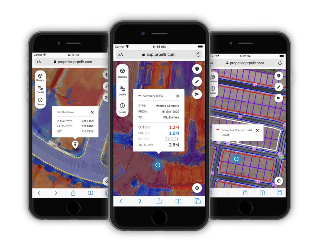
Crew represents an important evolution in our mission to deliver intuitive, actionable worksite visualizations to anyone who needs them. Here’s how it works.
If you want to jump ahead, here’s where we’re going:
Creating a shareable map of your site couldn’t be easier
With just a few clicks in the Propeller Platform, you can customize an interactive 2D map of your site and share it with anyone you want, whether they’re in your organization or not. Project managers, site engineers, foremen, contractors, stakeholders—anyone.
Simply select your project, choose which details you want to include (think linework, cut/fill remainders, design specs), and generate a unique URL that can be shared however you see fit—through SMS, email, or your organization’s preferred communication platform.
An “Active Links” tab on the Propeller Platform allows you to see how many Crew Links you’ve created and manage their expiration dates, so you’re always in control of the information you have out in the world. (All Crew Links will work for two weeks by default unless otherwise specified.)

The best part is that there’s no cumbersome mobile app to download or login credentials for your team to remember. Recipients simply tap the URL you send them and are immediately redirected to a browser-based map. Crew maps work on any mobile device and with any browser.
Think of Crew’s maps as lightweight, read-only versions of the same 3D visualizations you work with in the Propeller Platform. And because there’s no limit to how many maps you can create or how often you send them, keeping your team current on the latest measurements and progress data is entirely in your hands.
Share up-to-date information faster and more frequently
On a live site, data becomes outdated almost immediately. New surveys are completed, design specs are updated, and earthwork progress changes with every dig of a ‘dozer.
Crew is designed to shorten the time frame between the existence of new plans and progress data and your team’s awareness of them. As soon as new information becomes available, you can generate a new map and send it off to whomever needs it.
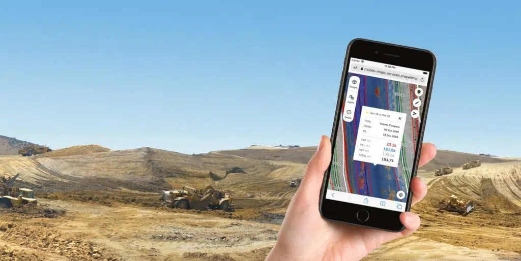
For site supervisors and superintendents on site, this means receiving up-to-date maps with requested specs sooner after requesting them. For engineers and managers who split their time between the office and field, it means knowing that you have the best information readily available in your pocket when you show up on site.
Using the Crew add-on also takes the burden of manually creating updated maps and reports off of surveyors, project managers, and anyone else responsible for circulating new information. Creating and sharing maps with Crew is fast, and intuitive enough for those without specialized knowledge of the Propeller Platform to handle.
Give every member of your team the specific information they need to succeed
When on-site personnel aren’t working off the best, most relevant information available to them, they aren’t able to confidently make decisions. And uncertainty leads to project delays or costly rework.
That’s why it was important for us to make sure the maps generated with Crew could be customized for who would be using them. Not only can the creator choose which measurements and designs layers to include, but the worker viewing the map can easily turn on or off each overlay of information to fit their needs.
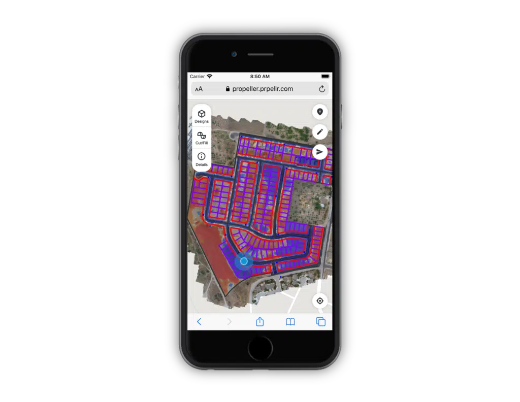
Want to check that the trench in front of you has been dug to the proper specifications? Turn off everything but the cut/fill elevation data. Want to make sure the spot you’re digging isn’t hiding a utility? Choose to only view the linework.
Giving workers the ability to pick and choose map overlays helps them hone in on the information they actually need, ignore the rest, and make faster, more confident decisions.
Empower everyone to check data in the moment and collaborate more easily
While the Propeller Platform requires a certain degree of training to fully leverage all its features, we created Crew with accessibility in mind. Anyone viewing a Crew-generated map can easily navigate around, zoom in on, and select features for further inspection.
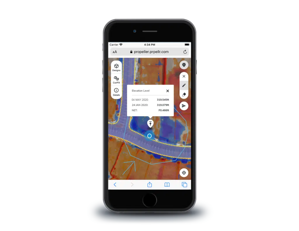
We also included an easy-to-use elevation spot check feature that requires nothing more than a single tap of the finger to view the current and original elevation level of any point on the map.
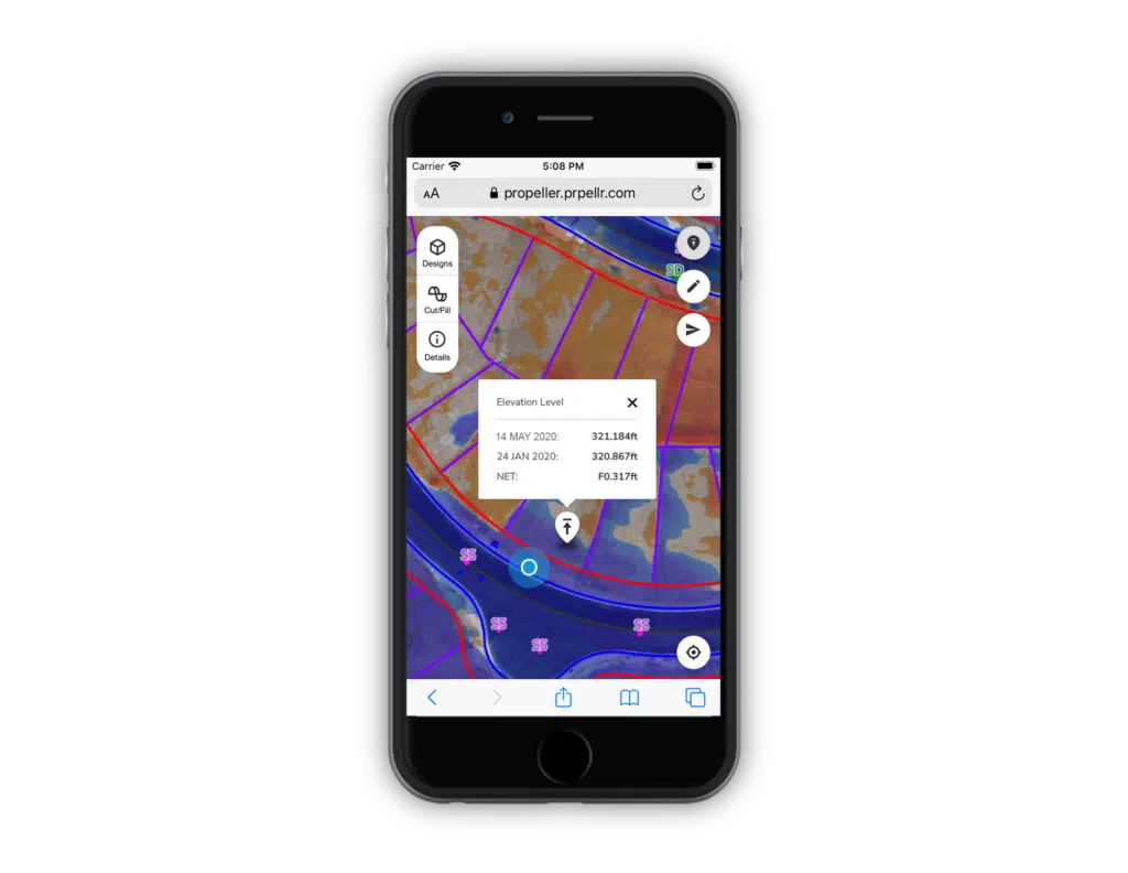
And because Crew’s maps can use your mobile device’s GPS to show you where you are, spot checking a stockpile or another feature right in front of you is simple.
Another feature that expands your team’s communication capabilities is Crew’s freehand drawing tool. When you draw on the map to highlight an area, that markup can be viewed by anyone else looking at the map. This makes collaboration between workers in the field, and between those in the field and the office, easier than ever.
By making Crew’s maps as straightforward to use as possible, we’re hoping to put the power of Propeller into the hands of everyone on your team.
If you’re an existing customer who wants to start taking advantage of Propeller’s new Crew feature, reach out to your customer success engineer today to learn more.
And if you’re not yet a Propeller customer, let’s talk about all the ways Propeller can help you collect, process, and use worksite data.
Related Resources:
CONEXPO 2020 Recap: Here’s What You Missed


