Conventional Surveys Pose Time, Cost, and Safety Risks on a Construction Site—So What’s Next for SEE Civil?
Trimble, the global leader in positioning technologies, was an early partner of Propeller. Our teams work closely together to deliver Trimble Stratus survey-grade drone data solutions for the heavy civil industries.
To learn more about how established civil construction and engineering companies are looking to combine decades of expertise and experience with the power of 3D site surveying technology, we caught up with Cameron Brittain, the general manager—technology and digital engineering at SEE Group, a recent customer of Trimble Stratus.
We uncovered some of the current challenges SEE Group faces, how technology is helping them to move away from conventional survey methodologies and how Trimble Stratus can drive efficiencies in the future.
Tell us your name, your role, and a little about SEE Group.
I’m Cameron Brittain, General Manager—Technology and Digital Engineering at SEE Group
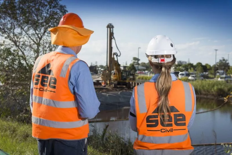
SEE Group is a group of family-owned companies headquartered on the Gold Coast in Queensland. SEE Group includes:
- SEE Civil, a civil construction and engineering company delivering civil infrastructure and urban development projects;
- Quarry Solutions, a specialist quarry and material supply and processing business;
- Integrated Concrete Solutions, a readymix concrete supplier and;
- Civil Rent, an internal plant hire and management business.
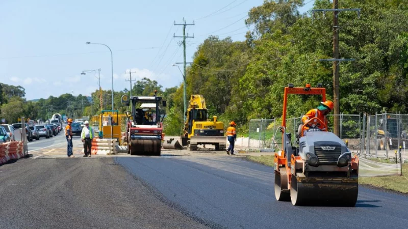
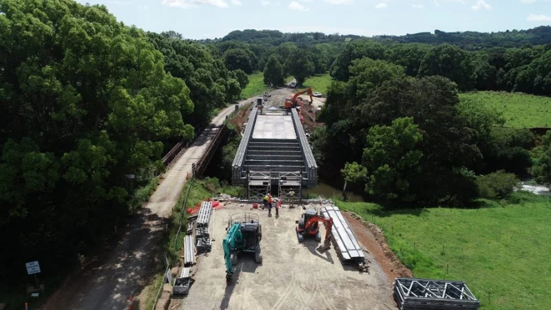
SEE Group has adopted an integrated approach to project delivery allowing us to create complete construction solutions for our clients from start to finish. Our combined expertise across the group means we have capability to complete a range of civil construction projects including roads, bridges and rail, bulk and detailed earthwork, civil infrastructure works (water, sewer, electricity, etc.) and operate fixed and mobile quarrying operations.
SEE Group is currently completing projects between Kallangur in north Brisbane, North Star in western New South Wales, and Yamba on the east coast of New South Wales. Our survey team works across all SEE Group business as required with a focus on SEE Civil’s projects.
Could you give us an overview of the main projects SEE Civil is working on at the moment?
SEE Civil specializes in civil infrastructure and urban development projects, working for a range of clients and industry sectors. We’re currently working on civil infrastructure projects across southeast Queensland and northern New South Wales. Some of our major projects at the moment include works on the Woolgoolga to Ballina Pacific Highway Upgrade, Flagstone residential development, Empire Industrial Estate at Yatala, and projects at the Gold Coast Airport.
What are some of the challenges SEE Civil is facing that led you to look for a software solution like Trimble Stratus?
To date, SEE Civil has been predominantly using conventional survey methodologies which pose varying time, cost and safety risks. Across SEE Group businesses, we have surveyors working on a range of projects—including within our quarries. Trimble Stratus enables us to adopt a more uniform survey methodology across our business units which in turn gives us greater flexibility in resourcing and achieves faster reporting times. It also provides benefits around planning and reporting, and provides various quality improvements in the survey space.
How many people do you plan to have using Trimble and how would you roll this out across SEE Civil?
Directly our survey team of ten will deliver the bulk of Trimble Stratus outputs. All projects will now be delivered under Trimble Stratus. Our surveyors, superintendents, project managers, and our executive management team will also be trained to use the software. This will allow the decision makers in our business to readily access survey data as they need it.
What are the main benefits you hope to gain from implementing Trimble Stratus into SEE Civil’s current workflows?
The main benefits we are looking to gain from implementing Trimble Stratus are:
- Faster reporting time frame
- Minimizing time, cost, and safety risks associated with traditional survey methods
- Adopting an open platform for reporting
- Providing more information for our project teams, faster
- Providing an opportunity for our staff to improve/update their skills.
How do you envision Trimble Stratus changing the way your teams operate?
Trimble Stratus gives SEE Civil the opportunity to provide more information to our teams more often and in a more timely fashion. It will expedite decision making processes and will allow us to make decisions “ahead of the curve.” We’re hoping it will also provide support to our teams in relation to design checks and reporting.
What tools/features in Trimble Stratus do you expect to use the most? What processes do you hope to use them for?
- Cut and fill maps
- Stockpile management and quantification
- Cross-section tool
- Road grades
- Reports
- Sharing tools
- En-of-month reporting
How does SEE Civil currently complete those processes?
SEE Civil is currently using a conventional survey process, which takes time and manpower. It especially difficult during end-of-month reporting period where resources can become stretched.
How would you describe your experience working with the team at Propeller so far?
The team at Propeller have been great to deal with so far. I relied on their experience and knowledge to help understand the Trimble Stratus capabilities and how I would be able to best work these in with existing systems at SEE Group and SEE Civil. Through this set-up stage they’ve been invaluable in making sure we have the most appropriate hardware, software, and training to meet our needs.


