Improve Construction Site Management, Collaboration with Drone Mapping and Analytics
Commercial drone mapping and drone data analytics platforms are transforming construction sites all over the world. While a drone may seem like a fancy piece of equipment, it’s no more unusual than a rover, but just as essential.
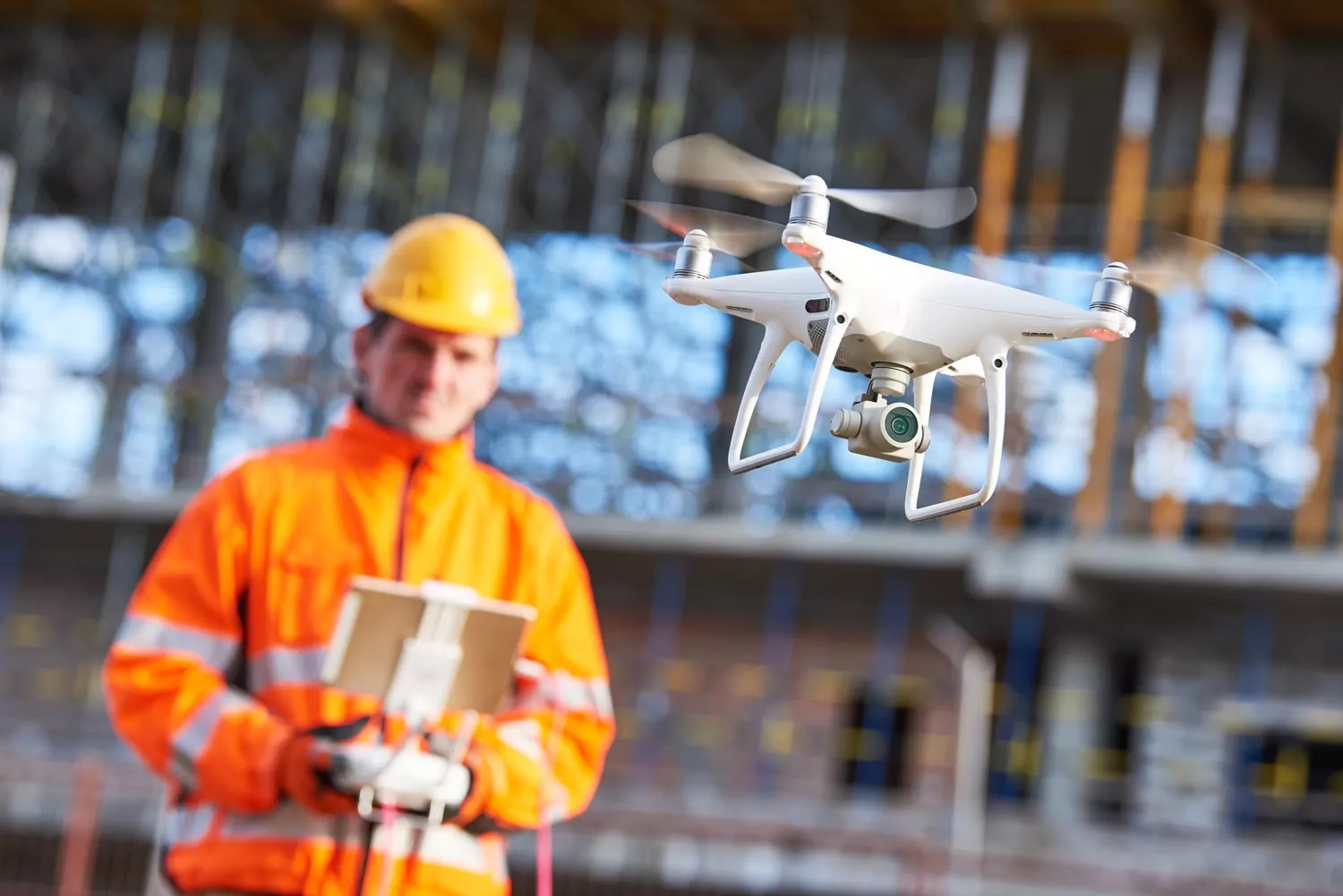
You can get the right drone and the right camera for a couple thousand dollars in most cases—a huge savings compared to traditional equipment. And unlike traditional professional surveyor tools you don’t need tons of special training and education to use it.
Depending on where you’re located, you might not need any certification either—as with Australia, where flying small drones at low altitude is okay for anyone. In the US, you’d just need to get licensed with the FAA.
Use a drone to survey your construction site
Once you’ve flown your drone and photographed your site, that’s where a processing platform like Propeller comes in.
Accessed from the browser on your device, the Propeller Platform is a drone mapping analytics platform that uses photogrammetry methods and our software to stitch the images together. This involves pinning the images to the ground control positions, and getting powerful computers and data experts to digest all the raw photos, find overlaps and common points in images, and make a 3D reconstruction of the terrain.
Thanks to ground control points (GCPs) like our AeroPoints and a known coordinate system (local calibration or otherwise), your data is accurate. This means you can measure right off the visual representation of your site on your web browser. Know your site’s progress and productivity in a few clicks by reviewing the site timeline and checking the physical site against your design.
Check your site’s progress often and easily
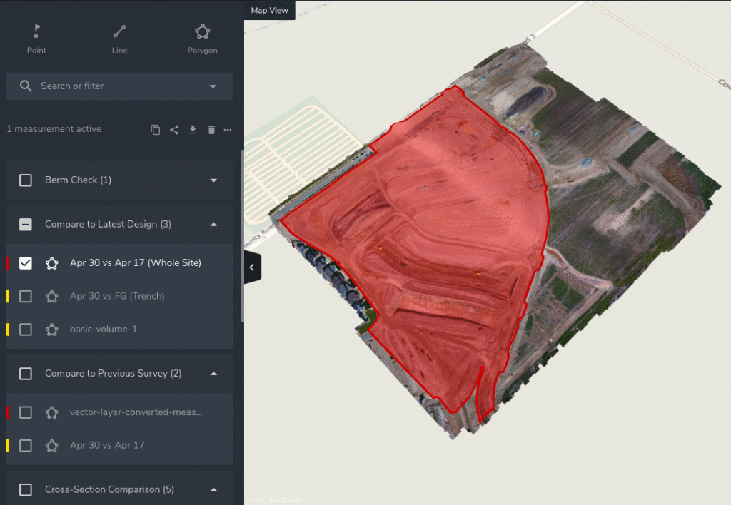
Using the easy-to-navigate interface takes minutes to master. You can check site volumes in seconds—and then track changes over time with our reports and timeline features.
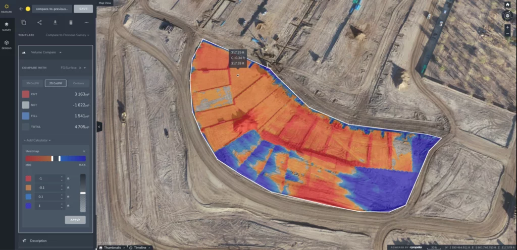
Similarly, volume measurements are quick and simple to complete. With additional calculators, you can take the guesswork out of tonnage measurements. You can easily see and measure how much dirt has been moved on your construction site, so you can quickly understand the numbers of how much of a particular job has been completed and how much still needs to be done.
While we’ll be talking more about safety later, it’s important to note that drone mapping makes haul road monitoring easy. With frequent surveys and easy grade checks, you can keep track of performance and change roads for optimal fuel burn, as needed.
Monitor design conformance and avoid rework
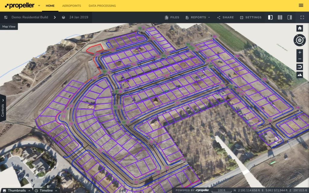
Of course, knowing how you’re faring against design is the main goal. The Propeller Platform allows for uploads of design surfaces and linework. This gives you an overlay on the 3D site survey, which instantly highlights how you’re progressing and if your work is to specification. It takes the guesswork and abstraction out of the process, letting you have a visual conversation with ease.
With more frequent productivity and progress tracking, you can spot problems before they become expensive. Think of it as the difference between planning ahead and simply reacting.
Traditionally, by the time information gets to you about a mistake, it’s all you can do to just put out fires and maybe start work over. But because drones are more cost effective and efficient, you can fly as frequently as you want to gather data, thus closing the information gap between you and your site.
Collaborate using a single source of truth
Everyone reports to somebody. Collaboration and reporting should be painless, but it’s often not. Collaboration challenges span the entire life of any project. At each stage, ensuring the right parties have the information to understand a project’s needs and complete their work on time, on budget, and to specification is critical to success. Check if estimates are correct, measure progress quantities, and accurately compare the initial survey to the actual initial site status.
The Propeller Platform is a browser-based tool, not traditional desktop software. Anyone with an internet browser can use it without installing complicated programs. Personnel back at the main office at the edge of the site—or miles away—can see the same information and share measurements and notes with the whole team.
Further, it houses everything in the same place: your present and past surveys; your designs and any iterations; your notes; your reports; and, of course, all your files in the formats you require. This makes access and collaboration, whether with the head office or your on-site team, painless.
Manage team access to site data
However, not every person on your construction site needs to, or should, know what’s happening everywhere. Propeller has no limits on the number of view-only users you can share your site with, making it simple and cost effective to give everyone the best collaboration solution available. You can set permissions for different teams or individuals as you see fit.
Simplify reporting
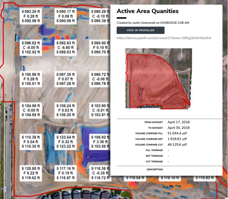
Additionally, Propeller’s ready-to-go reports in CSV or PDF can be sent to your boss or direct reports. These and the Platform overall can help mitigate delays due to inclement weather, accidents, bad estimates, and more. With Propeller, you can close the information gap between you and your site.
With drone data analytics, you can work and plan with confidence
Measuring and managing your construction site with drone data analytics saves on time, money, and mistakes. As we’ve seen, the Propeller Platform gives you the power to see the status of your site in minutes, measure volumes with a few clicks, troubleshoot frequently, and, with rock solid data and a timeline for the life of your site, resolve disputes should they arise. Never move someone else’s dirt again.
Further, you can streamline workflows related to safety planning and inspections and day-to-day operations all from your device. Cut down on commute time and cost by having a recent visual of your site with you wherever you are.
Learn how your construction site could benefit from drone data analytics:
Watch a demo of the Propeller Platform.


