If you’re moving dirt without Propeller, you’re just getting dirty.
Check out what Propeller can do for YOUR business in a live, custom demo.
Get your demo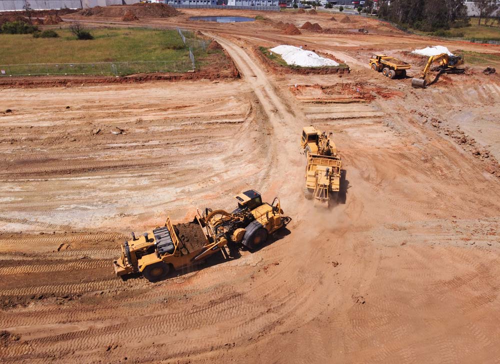
Earthworks professionals around the world trust Propeller to accurately and reliably map, measure, and report on worksite progress.
With the help of drone technology and specialized PPK data processing, our advanced software platform and team of GIS experts become an extension of your team to deliver the data you need in a simple, intuitive format.

Worksites powered by Propeller

Surveys processed with Propeller

Reports shared within Propeller

Countries serviced by Propeller

")
Collect drone survey data using a Propeller-supported drone and AeroPoints (smart ground control points).
Upload your data into Propeller for processing and verification.
View a 3D map of your worksite, take measurements, and share your survey-grade data with other project stakeholders.


Check out what Propeller can do for YOUR business in a live, custom demo.
Get your demo